
Image: Randy's Donut LA seen from Air
Size of this preview: 800 × 600 pixels. Other resolutions: 320 × 240 pixels | 1,538 × 1,153 pixels.
Original image (1,538 × 1,153 pixels, file size: 1.72 MB, MIME type: image/jpeg)
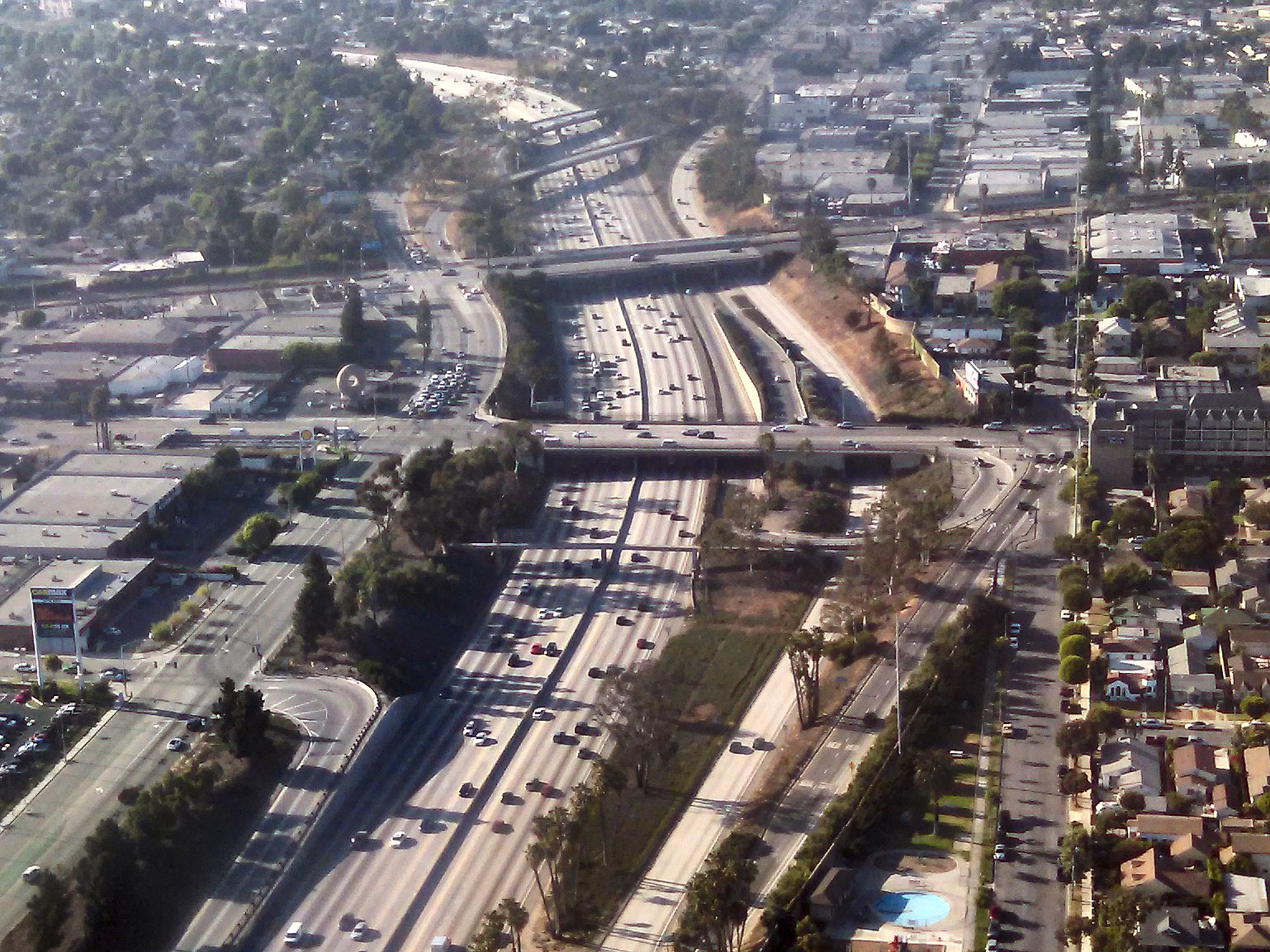
Description: Randy's donuts, seen from the air on approach to LAX airport. Randy's Donut shop is just left of center, left of both the freeway (I 405) and the side road (S La Cienega Bvld). It is at the intersection of La Cienega and Manchester. (Florence Ave is in the background behind it).
Title: Randy's Donut LA seen from Air
Credit: Own work
Author: Northwalker
Usage Terms: Creative Commons Zero, Public Domain Dedication
License: CC0
License Link: http://creativecommons.org/publicdomain/zero/1.0/deed.en
Attribution Required?: No
Image usage
The following page links to this image:

All content from Kiddle encyclopedia articles (including the article images and facts) can be freely used under Attribution-ShareAlike license, unless stated otherwise.