
Image: Rancho Providencia Hall Map 1880

Size of this preview: 535 × 600 pixels. Other resolutions: 214 × 240 pixels | 1,139 × 1,277 pixels.
Original image (1,139 × 1,277 pixels, file size: 1.28 MB, MIME type: image/png)
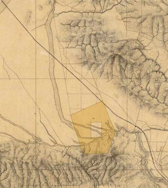
Description: Detail of the southeastern San Fernando Valley, from a manuscript map of Los Angeles and San Bernardino topography, 1880, by William Hammond Hall, Office of the State Engineer, California. The map shows the Rancho Cahuenga inholding within Rancho Providencia (tinted area) — in the present day city of Burbank and the Toluca Lake neighborhood.
Title: Rancho Providencia Hall Map 1880
Credit: David Rumsey Map Collection
Author: Map by William Hammond Hall (tinted area added)
Usage Terms: Public domain
License: Public domain
Attribution Required?: No
Image usage
The following 2 pages link to this image:

All content from Kiddle encyclopedia articles (including the article images and facts) can be freely used under Attribution-ShareAlike license, unless stated otherwise.