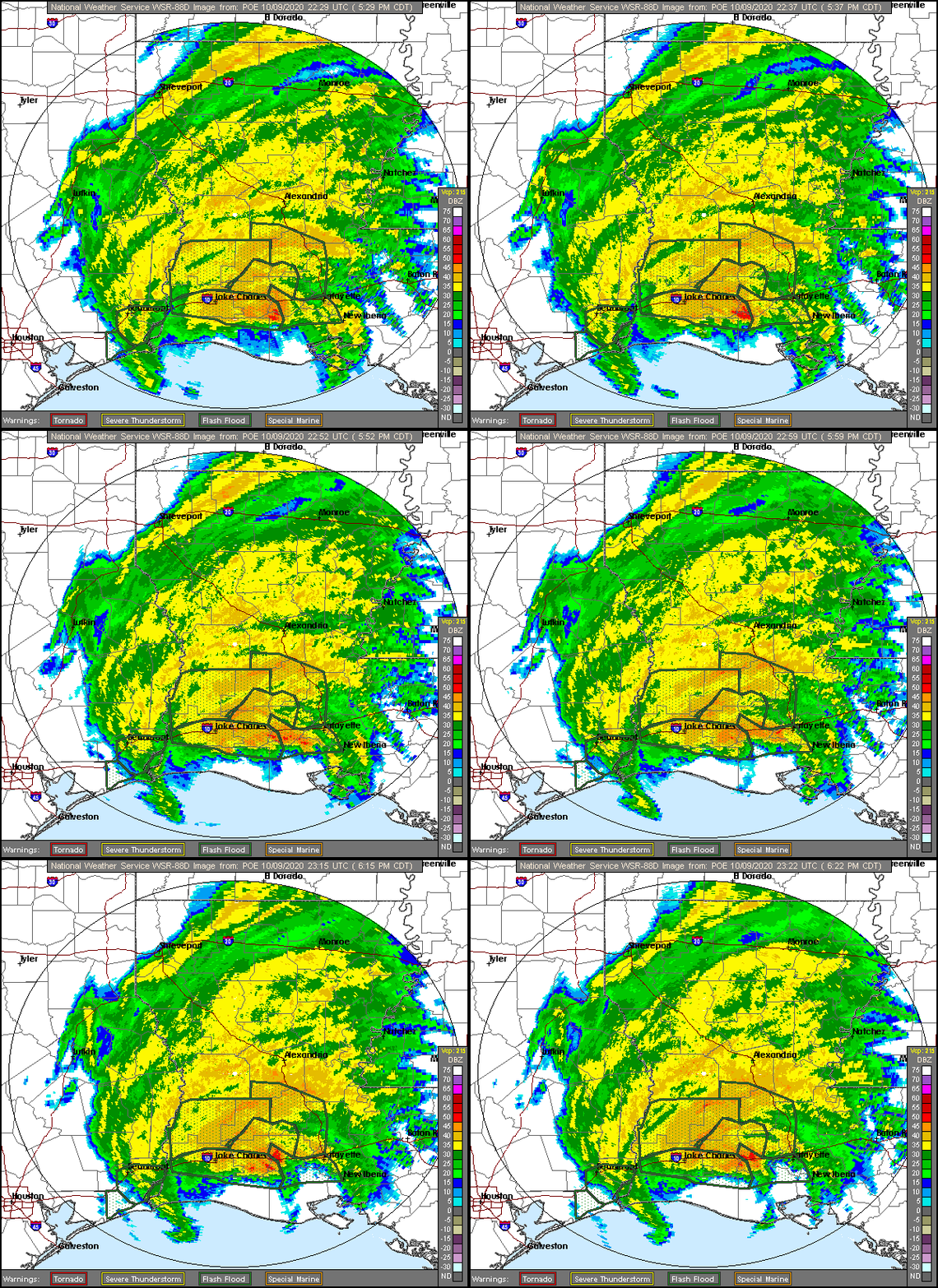
Image: Radar loop of Delta US Landfall 2020-10-09
Radar_loop_of_Delta_US_Landfall_2020-10-09.gif (600 × 550 pixels, file size: 451 KB, MIME type: image/gif, looped, 8 frames, 4.1 s)
Description: Weather radar loop (2229-2322 UTC) of Hurricane Delta at its landfall in Creole, Louisiana at 23:00 UTC on October 9. At the time, it was a Category 2 hurricane with winds of 100 mph and a pressure of 970 mb.
Title: Radar loop of Delta US Landfall 2020-10-09
Credit: https://radar.weather.gov/ridge/radar_lite.php?product=N0R&rid=POE&loop=yes
Author: NWS Lake Charles
Usage Terms: Public domain
License: Public domain
Attribution Required?: No
Image usage
The following page links to this image:

All content from Kiddle encyclopedia articles (including the article images and facts) can be freely used under Attribution-ShareAlike license, unless stated otherwise.

