
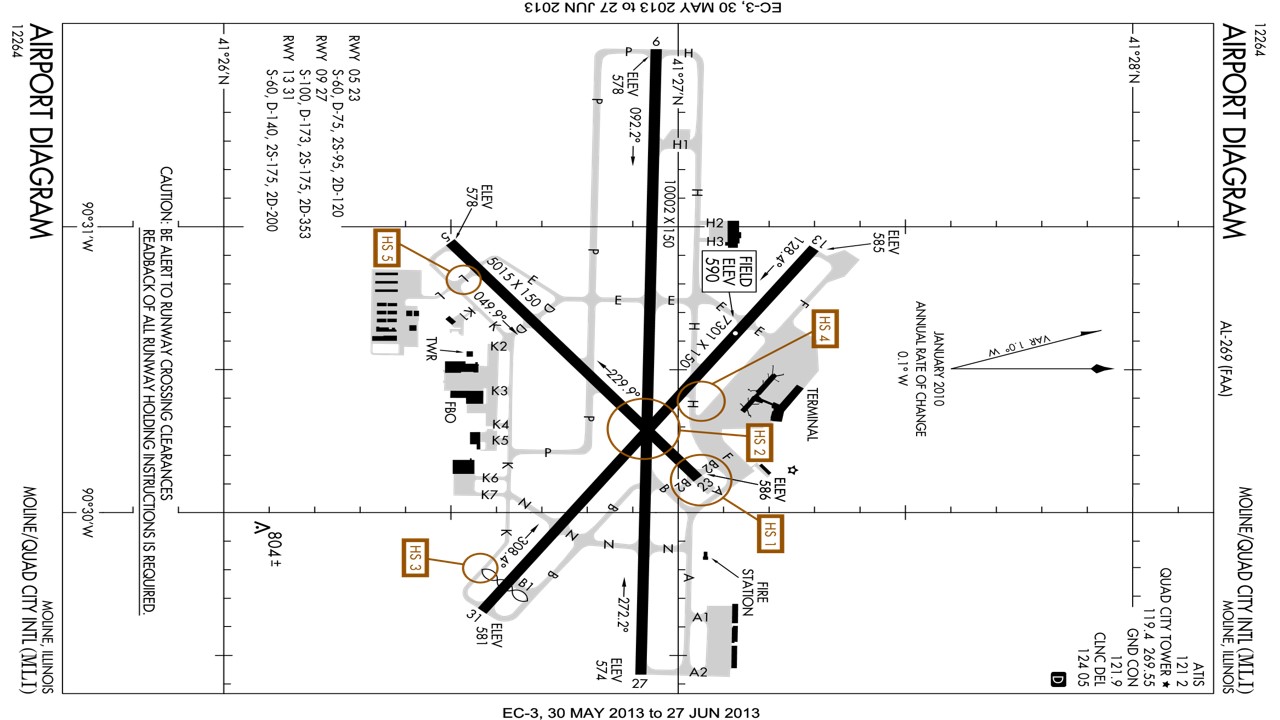
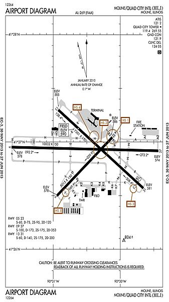
Image: QCIA Map updated
Size of this preview: 337 × 599 pixels. Other resolution: 135 × 240 pixels.
Original image (720 × 1,280 pixels, file size: 152 KB, MIME type: image/jpeg)
Description: FAA airport diagram for Quad City International Airport (MLI) in Moline, Illinois, United States.
Title: QCIA Map updated
Credit: http://aeronav.faa.gov/d-tpp/1307/00269AD.PDF
Author: Produced by the National Aeronautical Charting Office (NACO), a department of the Federal Aviation Administration (FAA).
Permission: Public domain.
Usage Terms: Public domain
License: Public domain
Attribution Required?: No
Image usage
The following page links to this image:

All content from Kiddle encyclopedia articles (including the article images and facts) can be freely used under Attribution-ShareAlike license, unless stated otherwise.