
Image: Puig-Falklands-Map-1770
Size of this preview: 800 × 569 pixels. Other resolutions: 320 × 228 pixels | 2,692 × 1,915 pixels.
Original image (2,692 × 1,915 pixels, file size: 9.44 MB, MIME type: image/png)
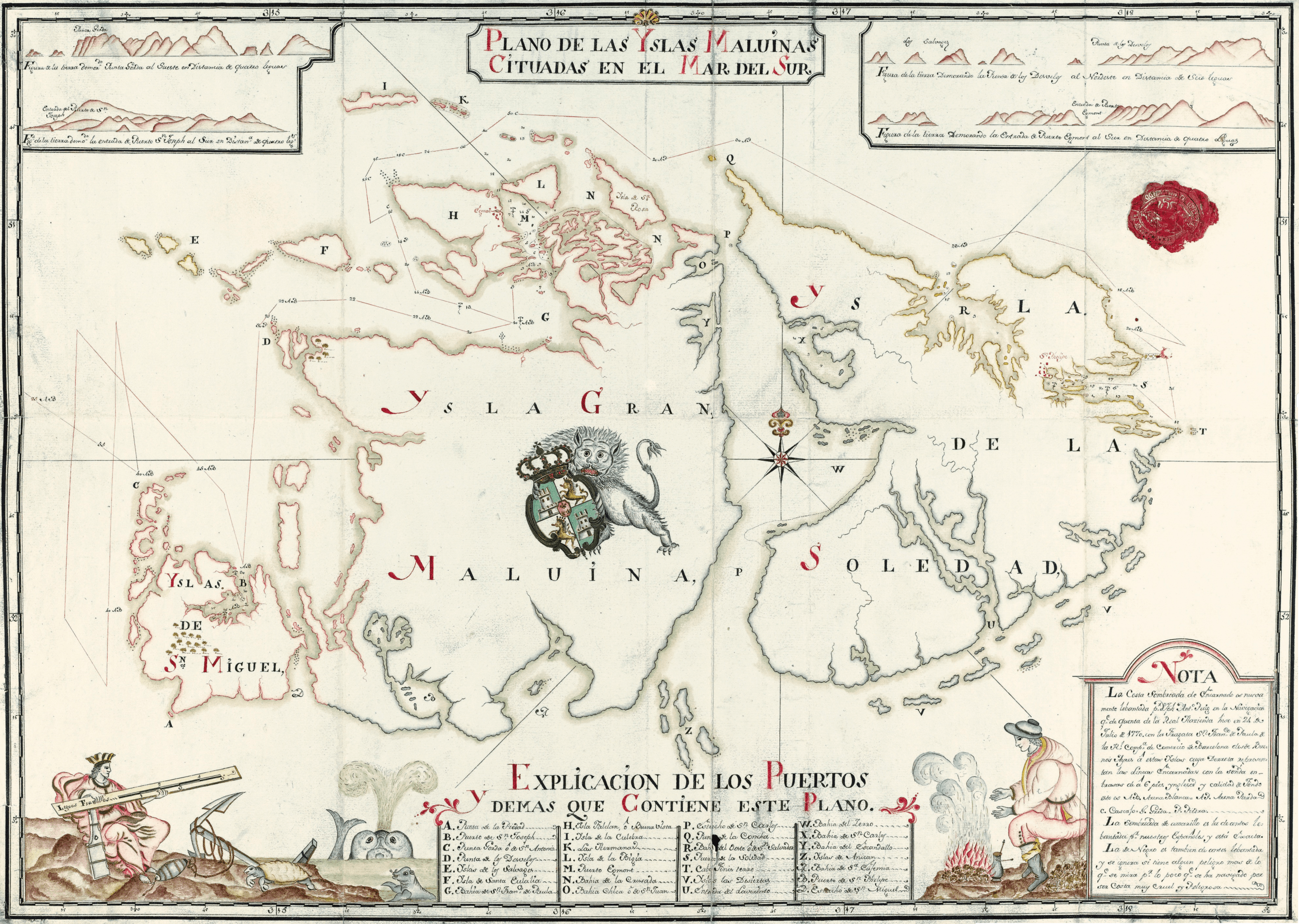
Description: 1770 map of the Falkland Islands by Joseph Antonio Puig, the pilot of the Spanish ship San Francisco de Paula commanded by Capt. Manuel Pando.
Title: Puig-Falklands-Map-1770
Credit: Plano de las Yslas Maluinas cituadas en el Mar del Sur. Scale ca. 1:500000 map. Madrid, 1770
Author: Joseph Antonio Puig
Usage Terms: Public domain
License: Public domain
Attribution Required?: No
Image usage
The following page links to this image:

All content from Kiddle encyclopedia articles (including the article images and facts) can be freely used under Attribution-ShareAlike license, unless stated otherwise.