
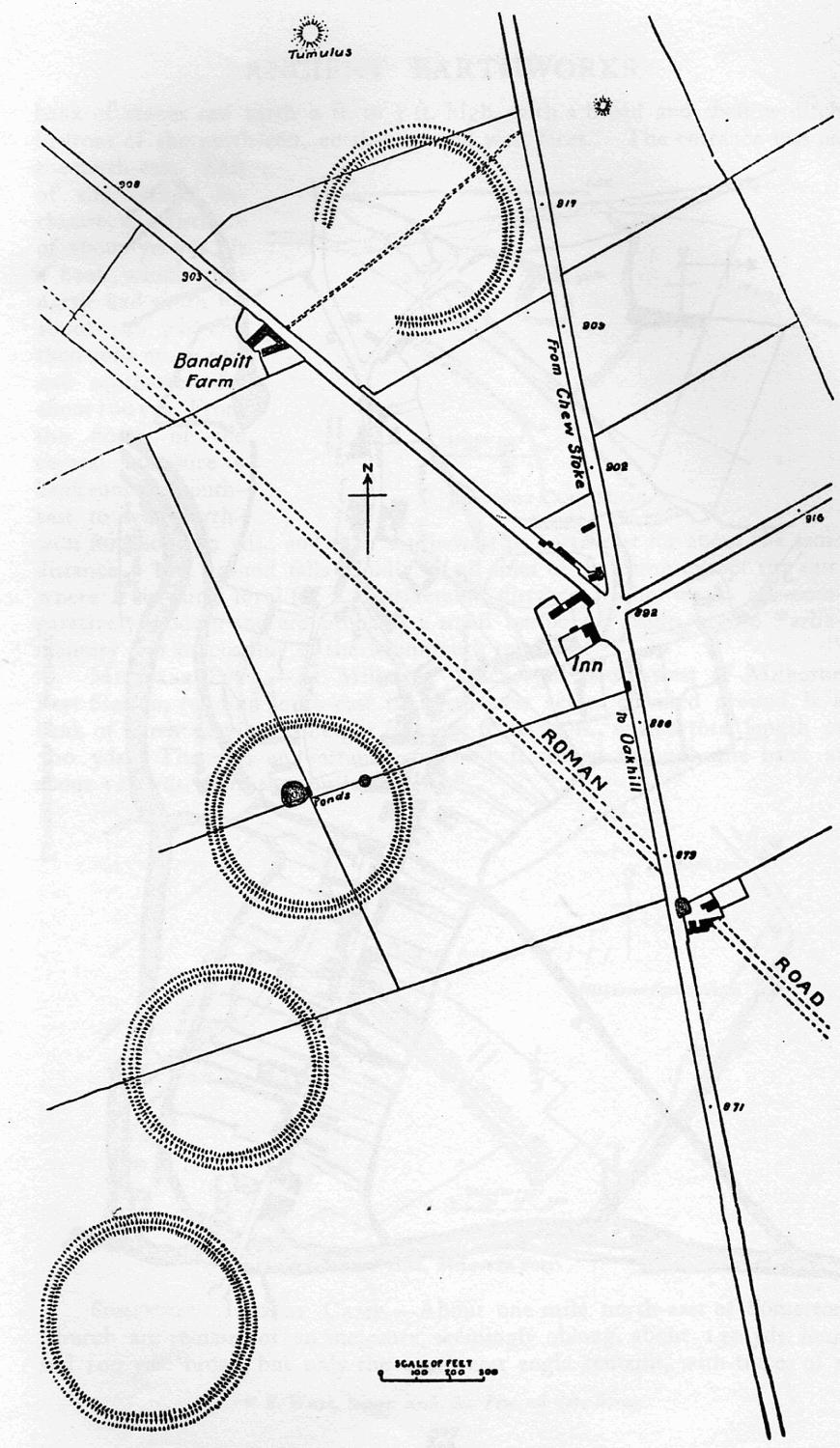
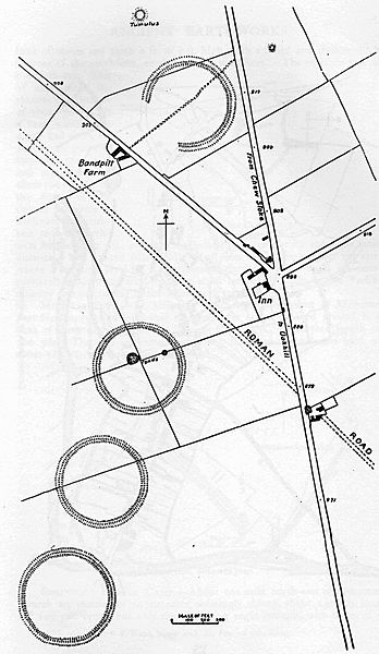
Image: Priddy Rings Somerset Map
Size of this preview: 348 × 600 pixels. Other resolutions: 139 × 240 pixels | 870 × 1,500 pixels.
Original image (870 × 1,500 pixels, file size: 186 KB, MIME type: image/jpeg)
Description: Map of earthworks at Priddy Rings, Somerset, England.
Title: Priddy Rings Somerset Map
Credit: The Victoria History of the Counties of England, A History Of Somerset, Volume 2.
Author: Editor - W.Page; Chapter on Ancient Earthworks - C.H.Bothamley
Permission: Copyright has expired in the United Kingdom, and is believed to be in the public domain.
Usage Terms: Public domain
License: Public domain
Attribution Required?: No
Image usage
The following 2 pages link to this image:

All content from Kiddle encyclopedia articles (including the article images and facts) can be freely used under Attribution-ShareAlike license, unless stated otherwise.