
Image: Pope1880CentralProv2
Size of this preview: 767 × 600 pixels. Other resolutions: 307 × 240 pixels | 1,200 × 938 pixels.
Original image (1,200 × 938 pixels, file size: 239 KB, MIME type: image/jpeg)
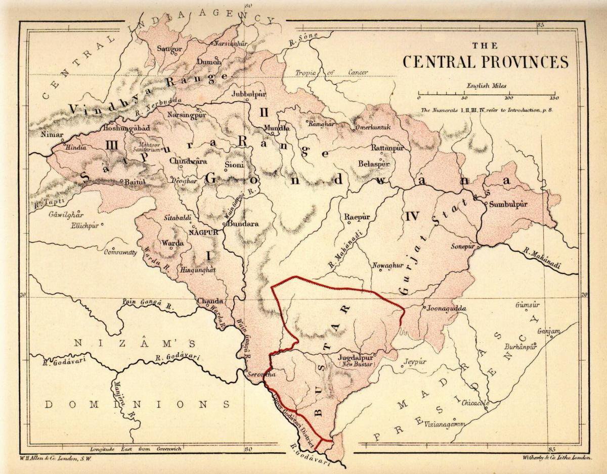
Description: Map of "Central Provinces" from Pope, G. U. (1880). Text-book of Indian History: Geographical Notes, Genealogical Tables, Examination Questions London: W. H. Allen & Co. Pp. vii, 574, 16 maps.
Title: Pope1880CentralProv2
Author: W. H. Allen and Co.
Usage Terms: Public domain
License: Public domain
Attribution Required?: No
Image usage
The following 2 pages link to this image:

All content from Kiddle encyclopedia articles (including the article images and facts) can be freely used under Attribution-ShareAlike license, unless stated otherwise.