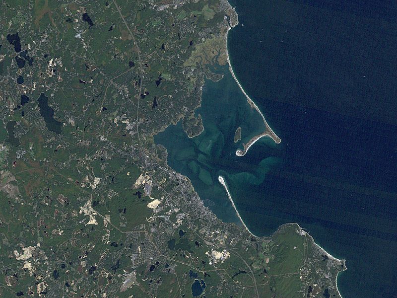
Image: Plymouth Landsat

Size of this preview: 800 × 600 pixels. Other resolutions: 320 × 240 pixels | 1,023 × 767 pixels.
Original image (1,023 × 767 pixels, file size: 430 KB, MIME type: image/jpeg)
Description: Overview of Plymouth Bay and Plymouth Harbor in Plymouth, Massachusetts. The western shore of Cape Cod Bay is visible, and the towns of Plymouth, Duxbury and Kingston can be seen. Plymouth Beach and Saquish Neck are visible jutting out into the bay.
Title: Plymouth Landsat
Usage Terms: Public domain
License: Public domain
Attribution Required?: No
Image usage
The following page links to this image:

All content from Kiddle encyclopedia articles (including the article images and facts) can be freely used under Attribution-ShareAlike license, unless stated otherwise.
