
Image: Plan of Seal Rocks & Sugarloaf Point, 1873 cropped
Size of this preview: 416 × 600 pixels. Other resolutions: 166 × 240 pixels | 1,760 × 2,538 pixels.
Original image (1,760 × 2,538 pixels, file size: 450 KB, MIME type: image/jpeg)
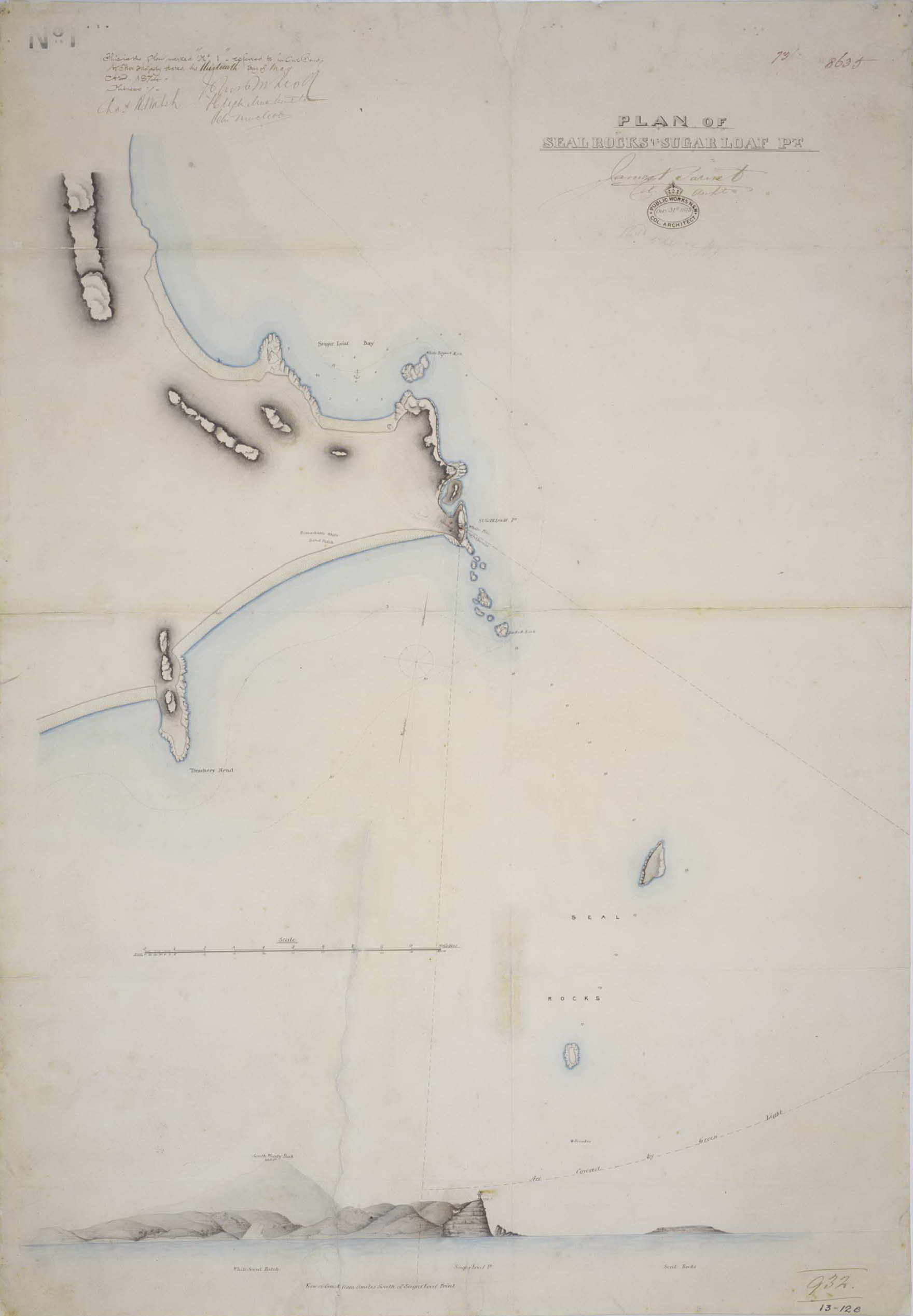
Description: Plan of Seal Rocks & Sugarloaf Point, showing view of lighthouse and surrounds from 8 miles off the coast, by James Barnet - NSW Colonial Architect, 1873
Title: Plan of Seal Rocks & Sugarloaf Point, 1873 cropped
Credit: Plan_of_Seal_Rocks_&_Sugarloaf_Point,_1873.jpg
Author: Plan_of_Seal_Rocks_&_Sugarloaf_Point,_1873.jpg: James Barnet - NSW Colonial Architect derivative work: Muhandes (talk)
Usage Terms: Public domain
License: Public domain
Attribution Required?: No
Image usage
The following page links to this image:

All content from Kiddle encyclopedia articles (including the article images and facts) can be freely used under Attribution-ShareAlike license, unless stated otherwise.