
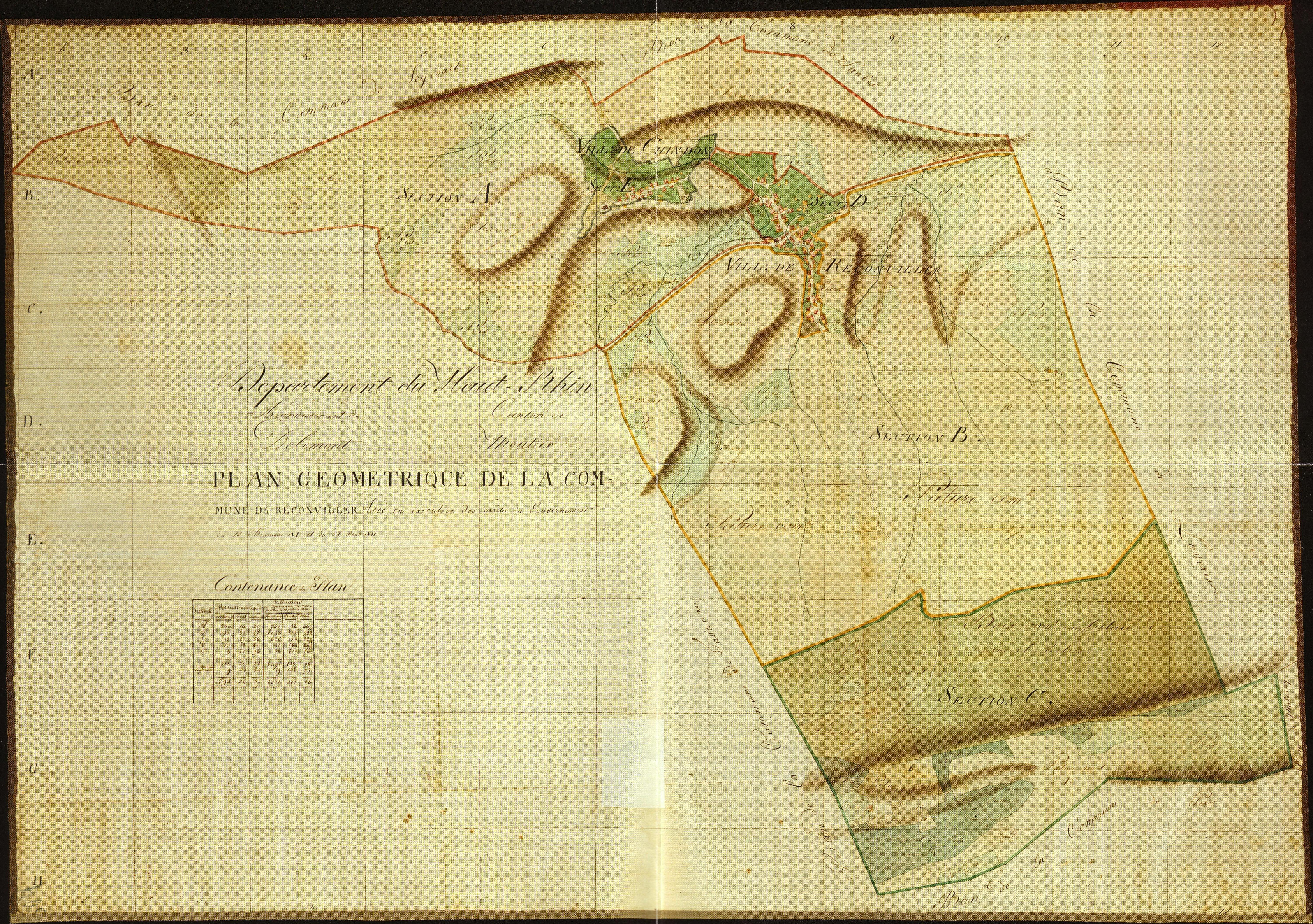
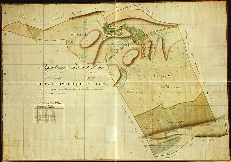
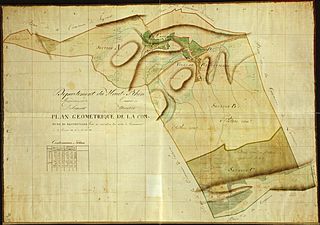
Image: Plan géométrique de Reconvilier 1800-1815
Size of this preview: 800 × 563 pixels. Other resolutions: 320 × 225 pixels | 5,998 × 4,223 pixels.
Original image (5,998 × 4,223 pixels, file size: 8.81 MB, MIME type: image/jpeg)
Description: Plan géométrique de Reconviller sous l'occupation française (Département du Haut-Rhin) établi entre 1800 et 1815. Le plan mentionne « levé en exécution des arrêtés du Gouvernement du 12 Brumaire XI (3 novembre 1799) et du 27 Vend XII (18 octobre 1800)».
Title: Plan géométrique de Reconvilier 1800-1815
Credit: Municipalité de Reconvilier
Author: Oblic
Usage Terms: Public domain
License: Public domain
Attribution Required?: No
Image usage
The following page links to this image:

All content from Kiddle encyclopedia articles (including the article images and facts) can be freely used under Attribution-ShareAlike license, unless stated otherwise.