
Image: Plains Store Battlefield Louisiana
Size of this preview: 458 × 600 pixels. Other resolutions: 183 × 240 pixels | 1,420 × 1,860 pixels.
Original image (1,420 × 1,860 pixels, file size: 669 KB, MIME type: image/jpeg)
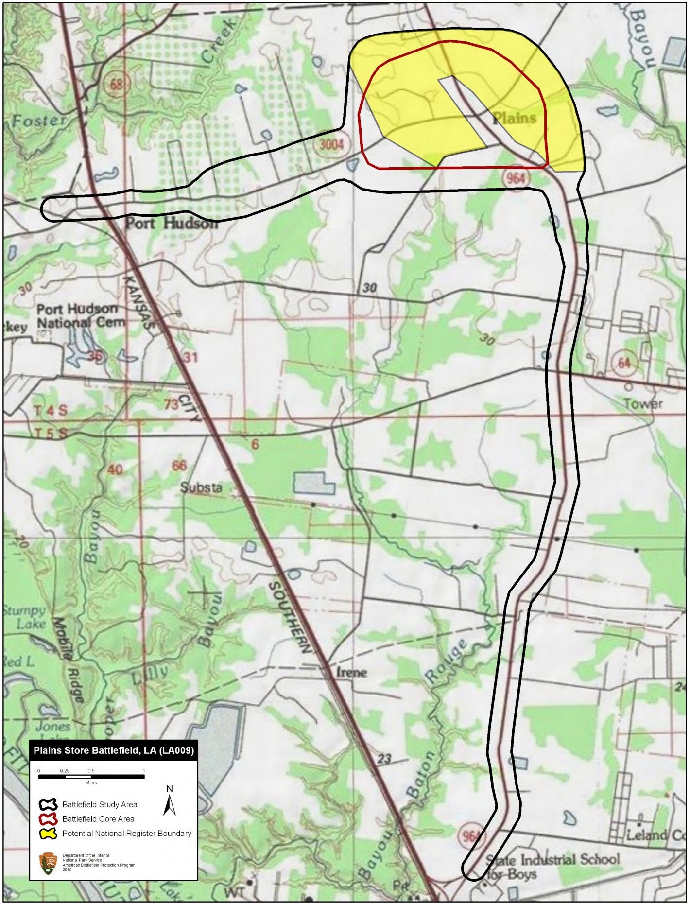
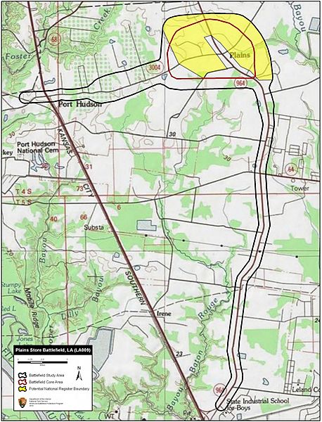
Description: Map of battlefield core and study areas. The Study Area was revised to include the Federal route of advance from the south. MG Augur had headed north intending to secure a landing on the Mississippi River, but was intercepted by the Confederates at Plains Store. The advance/withdrawal route from Port Hudson of the Confederate reinforcements under Col. Miles was extended to the west. The Core Area was revised to more accurately reflect the primary area of fighting.
Title: Plains Store Battlefield Louisiana
Credit: National Park Service
Author: American Battlefield Protection Program
Usage Terms: Public domain
License: Public domain
Attribution Required?: No
Image usage
The following page links to this image:

All content from Kiddle encyclopedia articles (including the article images and facts) can be freely used under Attribution-ShareAlike license, unless stated otherwise.