
Image: Pinson-mounds-mound29
Size of this preview: 800 × 547 pixels. Other resolutions: 320 × 219 pixels | 2,045 × 1,398 pixels.
Original image (2,045 × 1,398 pixels, file size: 1,014 KB, MIME type: image/jpeg)
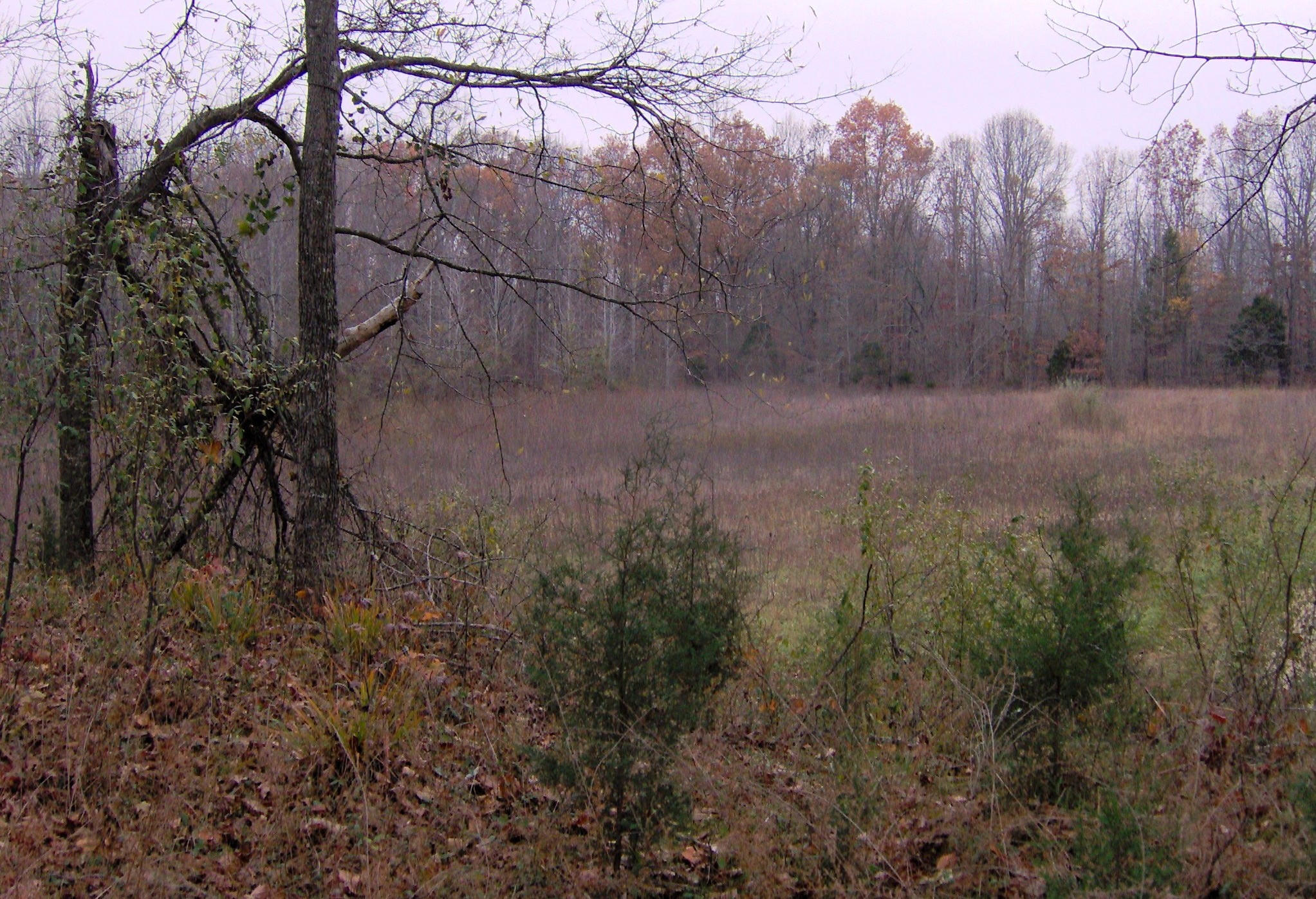
Description: The view from the top of Mound 29 into the "sacred" area enclosed by the earthen geometric walls (commonly called the Eastern Citadel) at Pinson Mounds State Archaeological Park in Madison County, Tennessee, located in the Southeastern United States. The enclosed ground slopes downward toward the left (west), which archaeologist Mark Norton suggested allowed a water reservoir to form.
Title: Pinson-mounds-mound29
Credit: Own work
Author: Brian Stansberry
Usage Terms: Creative Commons Attribution 3.0
License: CC BY 3.0
License Link: https://creativecommons.org/licenses/by/3.0
Attribution Required?: Yes
Image usage
The following page links to this image:

All content from Kiddle encyclopedia articles (including the article images and facts) can be freely used under Attribution-ShareAlike license, unless stated otherwise.