
Image: Ph central visayas
No higher resolution available.
Ph_central_visayas.png (451 × 500 pixels, file size: 34 KB, MIME type: image/png)
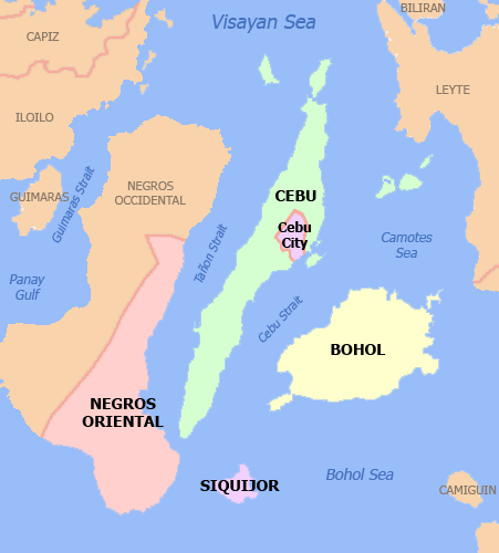
Description: Political map of Central Visayas Region, Philippines. Showing Bohol, Cebu, Negros Oriental, Siquijor and Cebu City. Used the map template :Image:BlankMap-Philippines.png by User:TheCoffee.
Title: Ph central visayas
Credit: Transferred from en.wikipedia to Commons.
Author: Namayan at English Wikipedia
Usage Terms: Creative Commons Attribution 2.5
License: CC BY 2.5
License Link: http://creativecommons.org/licenses/by/2.5
Attribution Required?: Yes
Image usage
The following page links to this image:

All content from Kiddle encyclopedia articles (including the article images and facts) can be freely used under Attribution-ShareAlike license, unless stated otherwise.