
Image: Pensacola1700
Size of this preview: 794 × 600 pixels. Other resolutions: 318 × 240 pixels | 1,324 × 1,000 pixels.
Original image (1,324 × 1,000 pixels, file size: 406 KB, MIME type: image/jpeg)
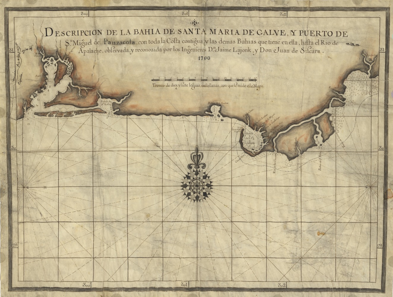
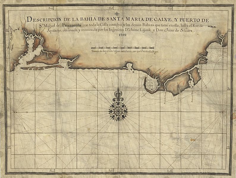
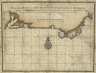
Description: Early Spanish map of Pensacola Bay and areas immediately to the east. The Presidio Santa Maria de Galve (site of present-day Pensacola, Florida) is visible on the map's left, while San Luis de Apalachee (roughly present-day Tallahassee) is visible on the map's far right.
Title: Pensacola1700
Credit: This map is available from the United States Library of Congress's Geography & Map Division under the digital ID g3932f.lh000870. This tag does not indicate the copyright status of the attached work. A normal copyright tag is still required. See Commons:Licensing for more information.
Author: Jaime Lajonk
Usage Terms: Public domain
License: Public domain
Attribution Required?: No
Image usage
The following page links to this image:

All content from Kiddle encyclopedia articles (including the article images and facts) can be freely used under Attribution-ShareAlike license, unless stated otherwise.