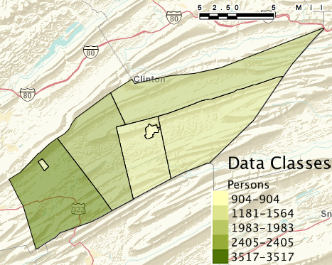
Image: Penns Valley Demographics Map 2010
Penns_Valley_Demographics_Map_2010.png (467 × 373 pixels, file size: 248 KB, MIME type: image/png)
Description: A map created through the US Census Beaureu of the Demographics of Gregg, Haines, Penn, Potter, and Miles Townships and Centre Hall and Millheim boroughs. U.S. Census Bureau; Census 2010, Summary File 1, Matrix P1; using American FactFinder; <http://factfinder2.census.gov>; (10 June 2012).
Title: Penns Valley Demographics Map 2010
Credit: http://factfinder2.census.gov/faces/tableservices/jsf/pages/productview.xhtml?fpt=table
Author: American Fact Finder
Usage Terms: Public domain
License: Public domain
Attribution Required?: No
Image usage
The following page links to this image:

All content from Kiddle encyclopedia articles (including the article images and facts) can be freely used under Attribution-ShareAlike license, unless stated otherwise.

