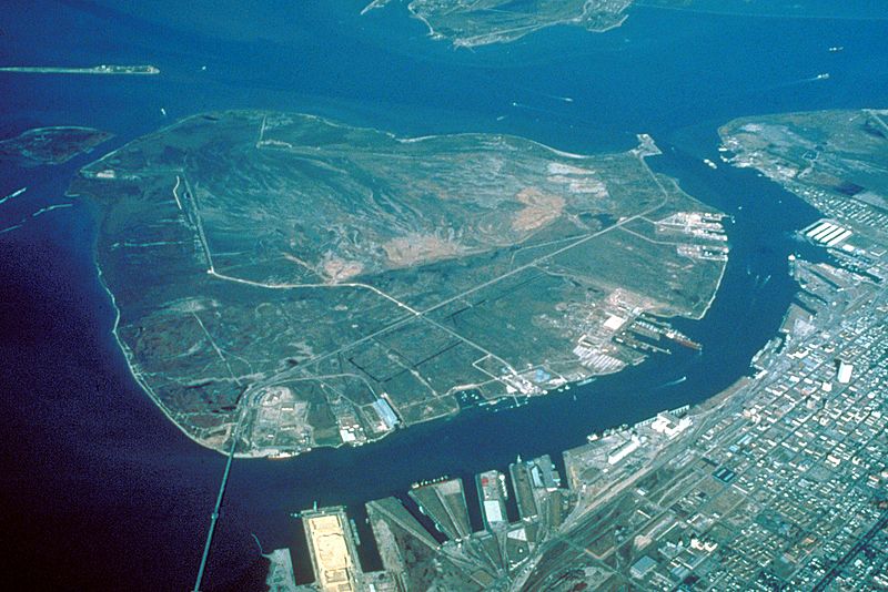
Image: Pelican Island Galveston

Description: Aerial view of Pelican Island, an island off the northeastern end of Galveston Island. Pelican Island was largely built up by material dredged from the Galveston Ship Channel and the Houston Ship Channel by the U.S. Army Corps of Engineers. The end of Galveston Island, the main part of the city of Galveston, and the Galveston Ship Channel are visible in this photograph. View is to the northeast.
Title: Pelican Island Galveston
Credit: U.S. Army Corps of Engineers Digital Visual Library Image page Image description page Digital Visual Library home page
Author: U.S. Army Corps of Engineers, photographer not specified or unknown
Permission: This image or file is a work of a U.S. Army Corps of Engineers soldier or employee, taken or made as part of that person's official duties. As a work of the U.S. federal government, the image is in the public domain. English | italiano | Nederlands | русский | Türkçe | українська | +/−
Usage Terms: Public domain
License: Public domain
Attribution Required?: No
Image usage
The following page links to this image:

