Image: Pearl Harbor looking southwest-Oct41

Size of this preview: 760 × 600 pixels. Other resolutions: 304 × 240 pixels | 5,808 × 4,583 pixels.
Original image (5,808 × 4,583 pixels, file size: 5.55 MB, MIME type: image/jpeg)
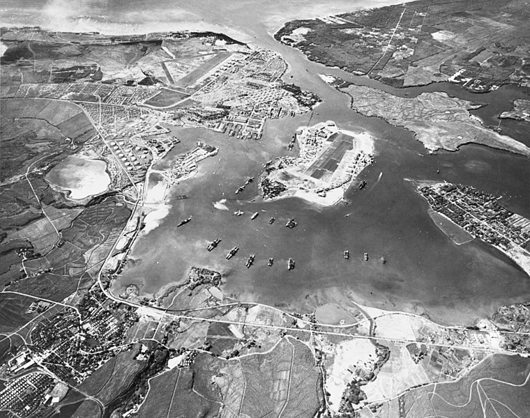
Description: Aerial view of the U.S. Naval Operating Base, Pearl Harbor, Oahu, Hawaii (USA), looking southwest on 30 October 1941. Ford Island Naval Air Station is in the center, with the Pearl Harbor Navy Yard just beyond it, across the channel. The airfield in the upper left-center is the U.S. Army's Hickam Field.
Title: Pearl Harbor looking southwest-Oct41
Credit: Official U.S. Navy photograph 80-G-182874, now in the collections of the U.S. National Archives. Also U.S. Navy National Museum of Naval Aviation photo No. 1996.488.029.051.
Author: USN
Usage Terms: Public domain
License: Public domain
Attribution Required?: No
Image usage
The following page links to this image:

All content from Kiddle encyclopedia articles (including the article images and facts) can be freely used under Attribution-ShareAlike license, unless stated otherwise.
