
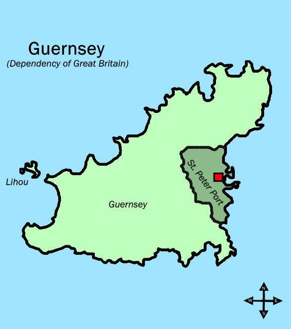
Image: Parishes in Guernsey (St Peter Port shaded)
Size of this preview: 531 × 599 pixels. Other resolutions: 213 × 240 pixels | 586 × 661 pixels.
Original image (586 × 661 pixels, file size: 16 KB, MIME type: image/gif)
Description: This map shows the position of St Peter Port in relation to the rest of Guernsey. I drew it myself but it is based on the picture Parishes in Guernsey, which I also drew myself, and the picture: http://www.brennanandco.com/graphics/guernseymap.jpg
Title: Parishes in Guernsey (St Peter Port shaded)
Credit: Transferred from en.wikipedia to Commons by Premeditated Chaos using CommonsHelper.
Author: Tra at English Wikipedia
Usage Terms: Public domain
License: Public domain
Attribution Required?: No
Image usage
The following page links to this image:

All content from Kiddle encyclopedia articles (including the article images and facts) can be freely used under Attribution-ShareAlike license, unless stated otherwise.
.GIF)