
Image: Paola, Malta 1895
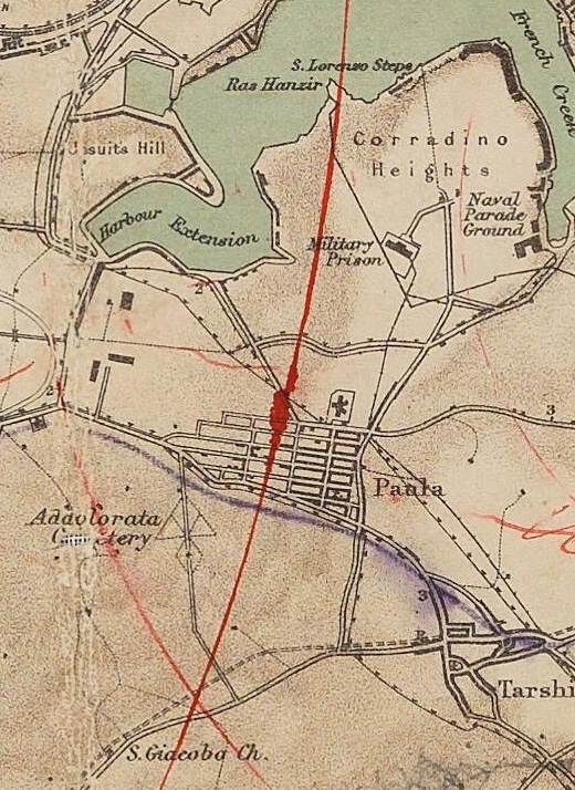
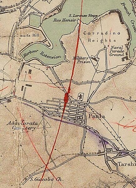
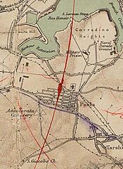
Description: 1895 Map of the island of Malta by the War Office, Intelligence Division. The map bears the handwritten name of Lieutenant Colonel Herbert St Maur Carter, who was in Malta between 1906 and 1910. He might have been the author of the two series of concentric red circles, with two focii on the Mtarfa barracks and the Zabbar Gate / Cottonera Military Hospital (now St Edward College). The London Regiment was stationed at Mtarfa in 1914/15. The elusive St Patrick's tented hospital is marked in pencil near Tal-Balal cross-roads and that only existed 1915-1917. Likely, the markings/circles were superimposed during WW1. Lt Col Carter also left us a great photo album of 24 views of Malta which is held by the Wellcome Archive. Description courtesy of Peter Agius and Mark Vassallo. [1]
Title: Paola, Malta 1895
Credit: https://www.maltaramc.com/imgmaps/maltamap.jpg, Malta Royal Army Medical Corps
Author: Intelligence division, War office (British government)
Usage Terms: Public domain
License: Public domain
Attribution Required?: No
Image usage
The following page links to this image:
