
Image: Pannonia02
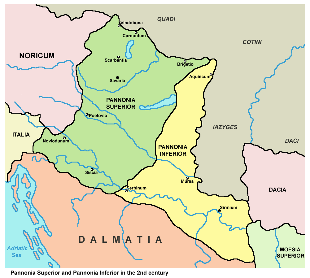
Description: Historic map - Roman provinces Pannonia Superior and Pannonia Inferior in the 2nd century.
Title: Pannonia02
Credit: This map has been uploaded by Electionworld from en.wikipedia.org to enable the Wikimedia Atlas of the World . Original uploader to en.wikipedia.org was PANONIAN, known as PANONIAN at en.wikipedia.org. Electionworld is not the creator of this map. Licensing information is below. Own work, references: Dragan Brujić, Vodič kroz Svet antike, Beograd, 2005. Denis Šehić - Demir Šehić, Istorijski atlas Sveta, Beograd, 2007. The Times History of Europe, Times Books, London, 2002. Istorijski atlas, Geokarta, Beograd, 1999. Školski istorijski atlas, Zavod za izdavanje udžbenika SR Srbije, Beograd, 1970. The Times Atlas Svjetske Povijesti, Cankarjeva založba, Ljubljana - Zagreb, 1986. http://ebedszu.net/zsolt/terkep/pannonia_nagy.jpg File:Roman provinces of Illyricum, Macedonia, Dacia, Moesia, Pannonia and Thracia.jpg File:Roman provinces in a 1867 school atlas.jpg
Author: PANONIAN (talk · contribs)
Usage Terms: Public domain
License: Public domain
Attribution Required?: No
Image usage
The following page links to this image:
