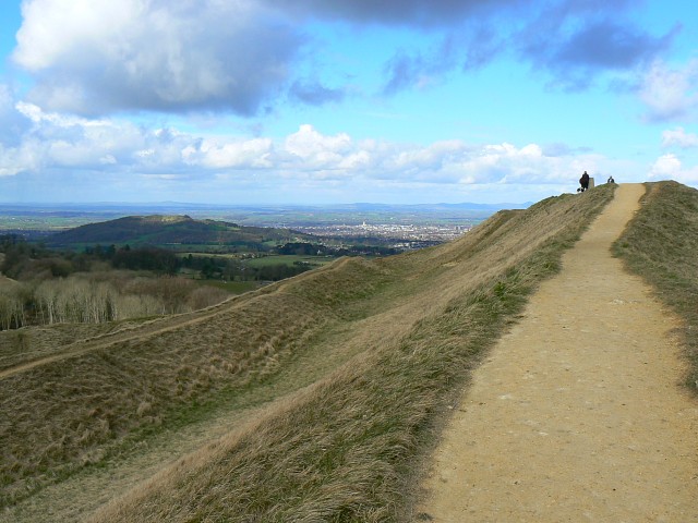
Image: Painswick hill fort - geograph.org.uk - 719683
Painswick_hill_fort_-_geograph.org.uk_-_719683.jpg (640 × 480 pixels, file size: 90 KB, MIME type: image/jpeg)
Description: Atlas of Hillforts 0764 Painswick hill fort The Iron Age hill fort has deep ramparts as can be seen to the left. On the right skyline at the end of the path is a triangulation pillar. In the far distance just below the centre skyline is the city of Gloucester.
Title: Painswick hill fort - geograph.org.uk - 719683
Credit: From geograph.org.uk
Author: Brian Robert Marshall
Usage Terms: Creative Commons Attribution-Share Alike 2.0
License: CC BY-SA 2.0
License Link: https://creativecommons.org/licenses/by-sa/2.0
Attribution Required?: Yes
Image usage
The following page links to this image:

All content from Kiddle encyclopedia articles (including the article images and facts) can be freely used under Attribution-ShareAlike license, unless stated otherwise.

