
Image: PacNW satellite cropped
No higher resolution available.
PacNW_satellite_cropped.JPG (228 × 500 pixels, file size: 55 KB, MIME type: image/jpeg)
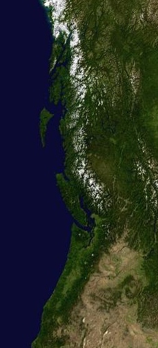
Description: Cropped from Image:PacNW satellite.JPG, with a tighter view of BC, Washington, and Oregon.
Title: PacNW satellite cropped
Credit: PacNW_satellite.JPG
Author: PacNW_satellite.JPG: The original uploader was SebastianHelm at English Wikipedia derivative work: Hike395 (talk · contribs)
Usage Terms: Public domain
License: Public domain
Attribution Required?: No
Image usage
The following 2 pages link to this image:

All content from Kiddle encyclopedia articles (including the article images and facts) can be freely used under Attribution-ShareAlike license, unless stated otherwise.