
Image: PERU MAPA 1865

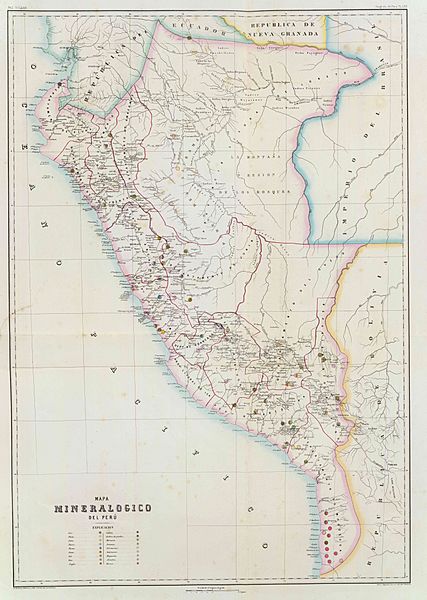
Description: Mapa mineralógico del Perú, hacia 1865. Paz Soldan. Geografia del Peru. Grabado por Delamare, Calle St. Andre des Arts, 45, Paris. Paris, Imp. Janson, Calle Antne. Dubois, 6. (Paris, Libreria de Augusto Durand, 1865)
Title: PERU MAPA 1865
Credit: Cartography Associates - Atlas geografico del Peru, publicado a expensas del Gobierno Peruano, siendo Presidente el Libertador Gran Mariscal Ramon Castilla, por Mariano Felipe Paz Soldan. Paris, Libreria de Augusto Durand, Calle de Gres-Sorbonne, 7. 1865. Paris. - Imprenta de Ad. Laine y J. Havard, Calle des Saints-Peres, No. 19.
Author: Paz Soldan, Mariano Felipe (1821-1886)
Permission: PD-Art
Usage Terms: Public domain
License: Public domain
Attribution Required?: No
Image usage
The following page links to this image:
