Image: OxHillBattlefieldParkSatellite

Size of this preview: 800 × 400 pixels. Other resolutions: 320 × 160 pixels | 1,024 × 512 pixels.
Original image (1,024 × 512 pixels, file size: 192 KB, MIME type: image/jpeg)
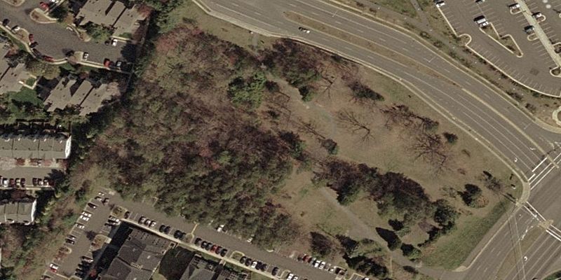
Description: Satellite view of the en:Ox Hill Battlefield Park, in Fairfax, Virginia, USA. This was the site of the en:Battle of Chantilly (or Ox Hill) during the American Civil War on September 1, 1862. The park is bounded by Monument Drive on the north side, and West Ox Road (State Route 608) on the east. The Fairfax Towne Center shopping area is to the north, and apartment buildings surround the rest.
Title: OxHillBattlefieldParkSatellite
Credit: USGS Urban Area Orthography photo; combined [1] and [2]
Author: U.S. Geological Survey
Permission: Public domain
Usage Terms: Public domain
License: Public domain
Attribution Required?: No
Image usage
The following page links to this image:

All content from Kiddle encyclopedia articles (including the article images and facts) can be freely used under Attribution-ShareAlike license, unless stated otherwise.
