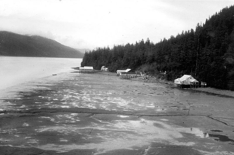
Image: Orca Inlet 1964 USGS ake00218

Size of this preview: 800 × 531 pixels. Other resolutions: 320 × 213 pixels | 1,400 × 930 pixels.
Original image (1,400 × 930 pixels, file size: 614 KB, MIME type: image/jpeg)
Description: USGS description: "Alaska Earthquake March 27, 1964. Canneries and fishermen's homes along Orca Inlet in Prince William Sound placed above the reach of most tides due to about 6 feet of uplift. Photo was taken at a 9-foot tide stage, which would have reached beneath the docks prior to the earthquake. Photo by G. Plafker, July 27, 1964. Figure 28, U.S. Geological Survey Professional paper 543-I. "
Title: Orca Inlet 1964 USGS ake00218
Credit: USGS photo library[1]
Author: G Plafker
Usage Terms: Public domain
License: Public domain
Attribution Required?: No
Image usage
The following page links to this image:

All content from Kiddle encyclopedia articles (including the article images and facts) can be freely used under Attribution-ShareAlike license, unless stated otherwise.
