
Image: OHEHOpenStreetMap
Size of this preview: 370 × 599 pixels. Other resolutions: 148 × 240 pixels | 944 × 1,528 pixels.
Original image (944 × 1,528 pixels, file size: 616 KB, MIME type: image/png)
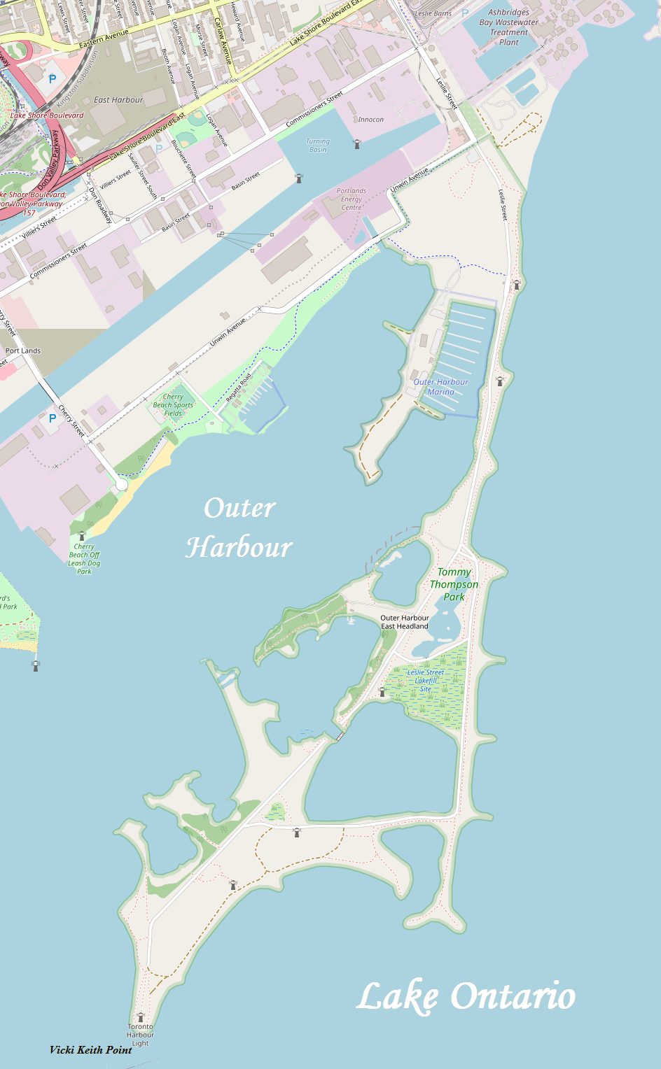
Description: A map of Toronto's Outer Harbour East Headland, more commonly known as the Leslie Street Spit
Title: OHEHOpenStreetMap
Credit: http://www.openstreetmap.org/
Author: OpenStreetMap, modified by Kelisi
Permission: The aforesaid website is freely usable to all.
Usage Terms: Public domain
License: Public domain
Attribution Required?: No
Image usage
The following page links to this image:

All content from Kiddle encyclopedia articles (including the article images and facts) can be freely used under Attribution-ShareAlike license, unless stated otherwise.