
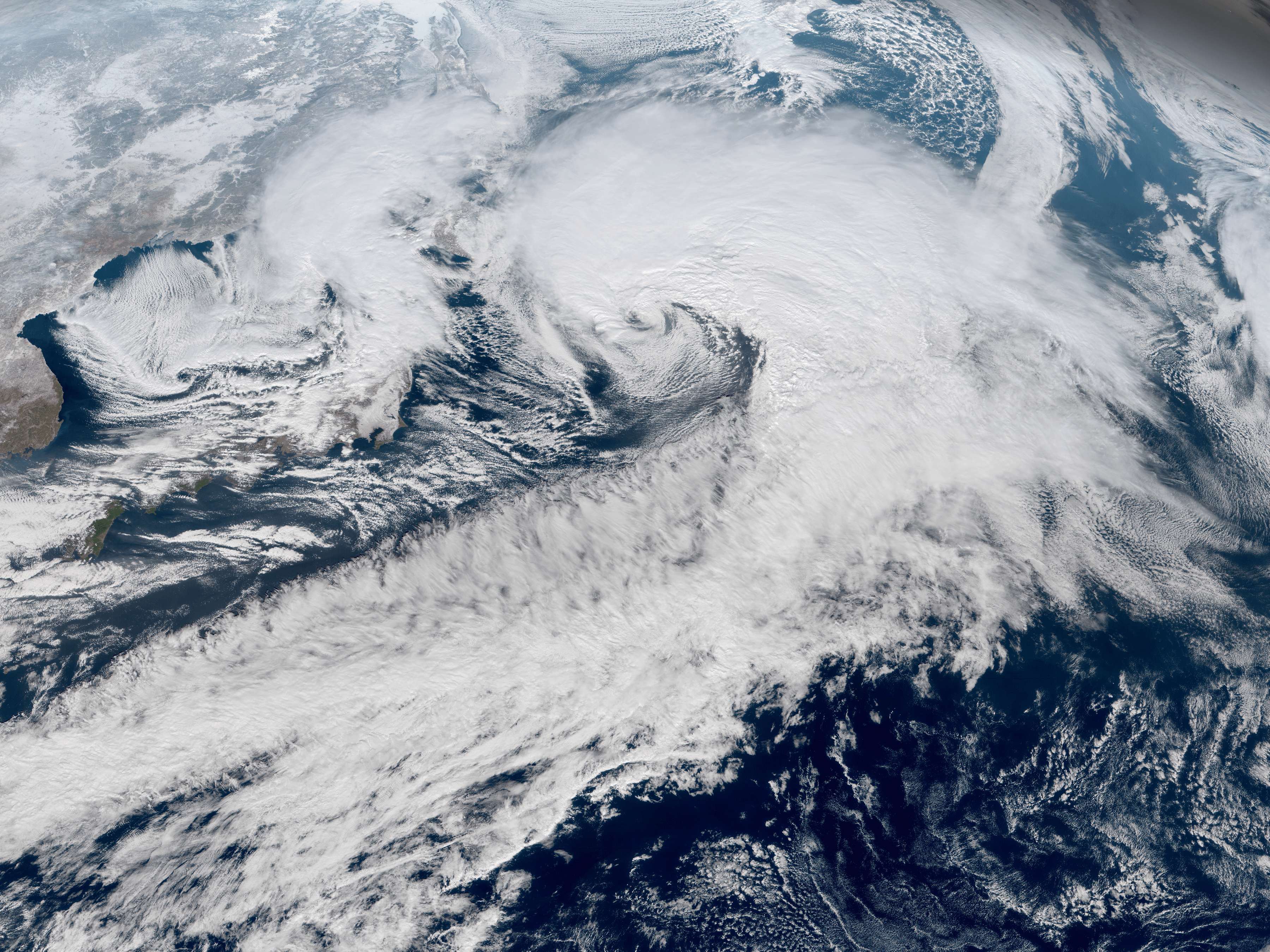
Image: Northwest Pacific cyclone 2018-01-23 0230Z
Description: The Himawari-8 satellite captured two powerful extratropical cyclones undergoing explosive cyclogenesis and reaching their peak intensity near Japan on January 23, 2018. The typhoon-force low was the strongest Northwest Pacific non-tropical cyclone since January 2013 in terms of ten-minute maximum sustained winds, at 75 knots (140 km/h; 85 mph), just after bringing the heaviest snowfall to the Greater Tokyo Area since 2014. Despite its gigantic fronts, the core of this extratropical cyclone was unusually compact. Meanwhile, a smaller storm-force low was active over the northeast portion of the Sea of Japan, with ten-minute sustained winds at 60 knots (110 km/h; 70 mph). A possible polar low was also active to the southwest.
Title: Northwest Pacific cyclone 2018-01-23 0230Z
Credit: RAMMB/CIRA SLIDER
Author: AHI image captured by the Japan Meteorological Agency’s Himawari-8 satellite
Usage Terms: Public domain
License: Public domain
Attribution Required?: No
Image usage
The following page links to this image:
