
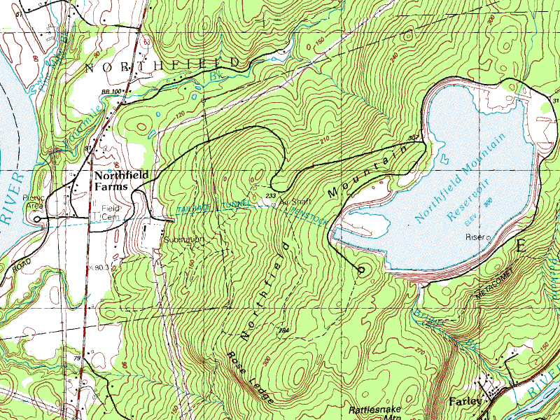
Image: Northfield Mountain Tailrace Tunnel - USGS map
No higher resolution available.
Northfield_Mountain_Tailrace_Tunnel_-_USGS_map.jpg (800 × 600 pixels, file size: 949 KB, MIME type: image/jpeg)
Description: Topographic map of Northfield Mountain Tailrace Tunnel, Millers Falls, Massachusetts.
Title: Northfield Mountain Tailrace Tunnel - USGS map
Credit: United States Geological Survey. USGS Orange (MA) topographic map.
Author: United States Geological Survey, US Department of the Interior.
Permission: Public domain - origianl work of the US Federal Government.
Usage Terms: Public domain
License: Public domain
Attribution Required?: No
Image usage
The following page links to this image:

All content from Kiddle encyclopedia articles (including the article images and facts) can be freely used under Attribution-ShareAlike license, unless stated otherwise.