Image: Northeast Thailand geology
Northeast_Thailand_geology.jpg (518 × 570 pixels, file size: 51 KB, MIME type: image/jpeg)
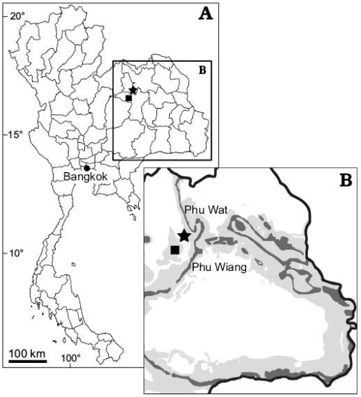
Description: Map of Thailand (A) and close-up of northeastern Thailand (B) showing the location of Phu Wiang locality, Khon Kaen Province (square) and Phu Wat locality, Nong Bua Lamphu Province (star). Dark gray, Sao Khua Formation outcrops, light gey, Phu Kradung and Khok Kruat formations.
Title: Northeast Thailand geology
Credit: https://www.app.pan.pl/archive/published/app64/app005402018.pdf
Author: Adun Samathi, Phornphen Chanthasit, and P. Martin Sander
Usage Terms: Creative Commons Attribution 4.0
License: CC BY 4.0
License Link: https://creativecommons.org/licenses/by/4.0
Attribution Required?: Yes
Image usage
The following page links to this image:

All content from Kiddle encyclopedia articles (including the article images and facts) can be freely used under Attribution-ShareAlike license, unless stated otherwise.

