
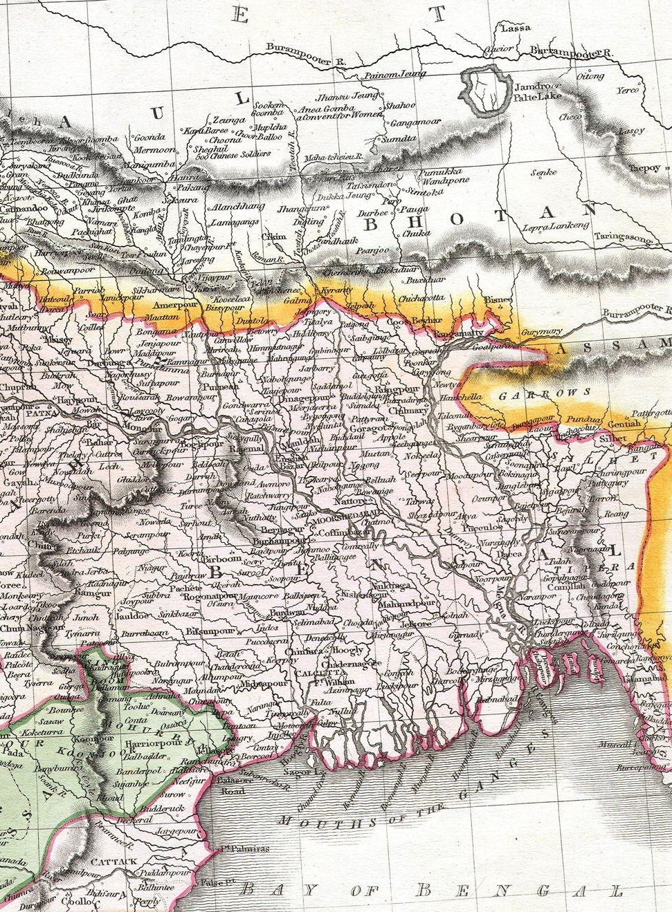
Image: Northeast-India-in-1814-Thomson-map
Size of this preview: 441 × 599 pixels. Other resolutions: 177 × 240 pixels | 971 × 1,319 pixels.
Original image (971 × 1,319 pixels, file size: 881 KB, MIME type: image/jpeg)
Description: Northeast India in 1814 map by John Thomson
Title: Northeast-India-in-1814-Thomson-map
Credit: http://www.geographicus.com/P/AntiqueMap/IndiaNepal-t-1814
Author: John Thomson
Usage Terms: Public domain
License: Public domain
Attribution Required?: No
Image usage
The following page links to this image:

All content from Kiddle encyclopedia articles (including the article images and facts) can be freely used under Attribution-ShareAlike license, unless stated otherwise.