
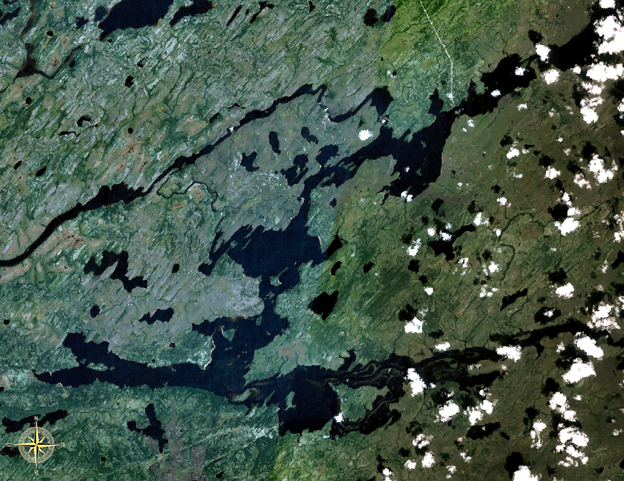
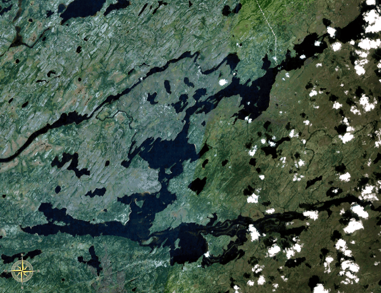
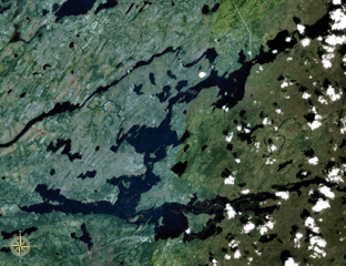
Image: Nemiscau 76.80W 51.38N
Size of this preview: 778 × 599 pixels. Other resolutions: 312 × 240 pixels | 1,280 × 986 pixels.
Original image (1,280 × 986 pixels, file size: 2.57 MB, MIME type: image/png)
Description: Lake Nemiscau, Quebec, Canada. Taken prior to diversion of Rupert River, which enters the lake at the bottom right and leaving the lake at the top middle, flowing to the left (west).
Title: Nemiscau 76.80W 51.38N
Credit: NASA WorldWind
Author: NASA WorldWind
Usage Terms: Public domain
License: Public domain
Attribution Required?: No
Image usage
The following page links to this image:

All content from Kiddle encyclopedia articles (including the article images and facts) can be freely used under Attribution-ShareAlike license, unless stated otherwise.