
Image: NZStewardIslandAreaMap

Size of this preview: 800 × 508 pixels. Other resolutions: 320 × 203 pixels | 911 × 579 pixels.
Original image (911 × 579 pixels, file size: 64 KB, MIME type: image/png)
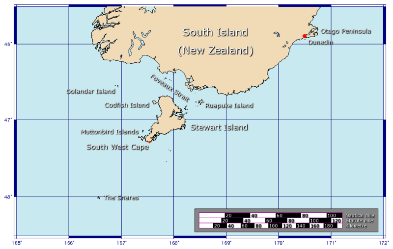
Description: A map of the area around New Zealand's Stewart Island. Generated using GMT.
Title: NZStewardIslandAreaMap
Credit: Own work
Author: Johantheghost
Usage Terms: Creative Commons Attribution-Share Alike 3.0
License: CC-BY-SA-3.0
License Link: http://creativecommons.org/licenses/by-sa/3.0/
Attribution Required?: Yes
Image usage
The following 8 pages link to this image:

All content from Kiddle encyclopedia articles (including the article images and facts) can be freely used under Attribution-ShareAlike license, unless stated otherwise.