
Image: NYC1776 labelled
Size of this preview: 778 × 600 pixels. Other resolutions: 312 × 240 pixels | 4,360 × 3,360 pixels.
Original image (4,360 × 3,360 pixels, file size: 7.88 MB, MIME type: image/jpeg)
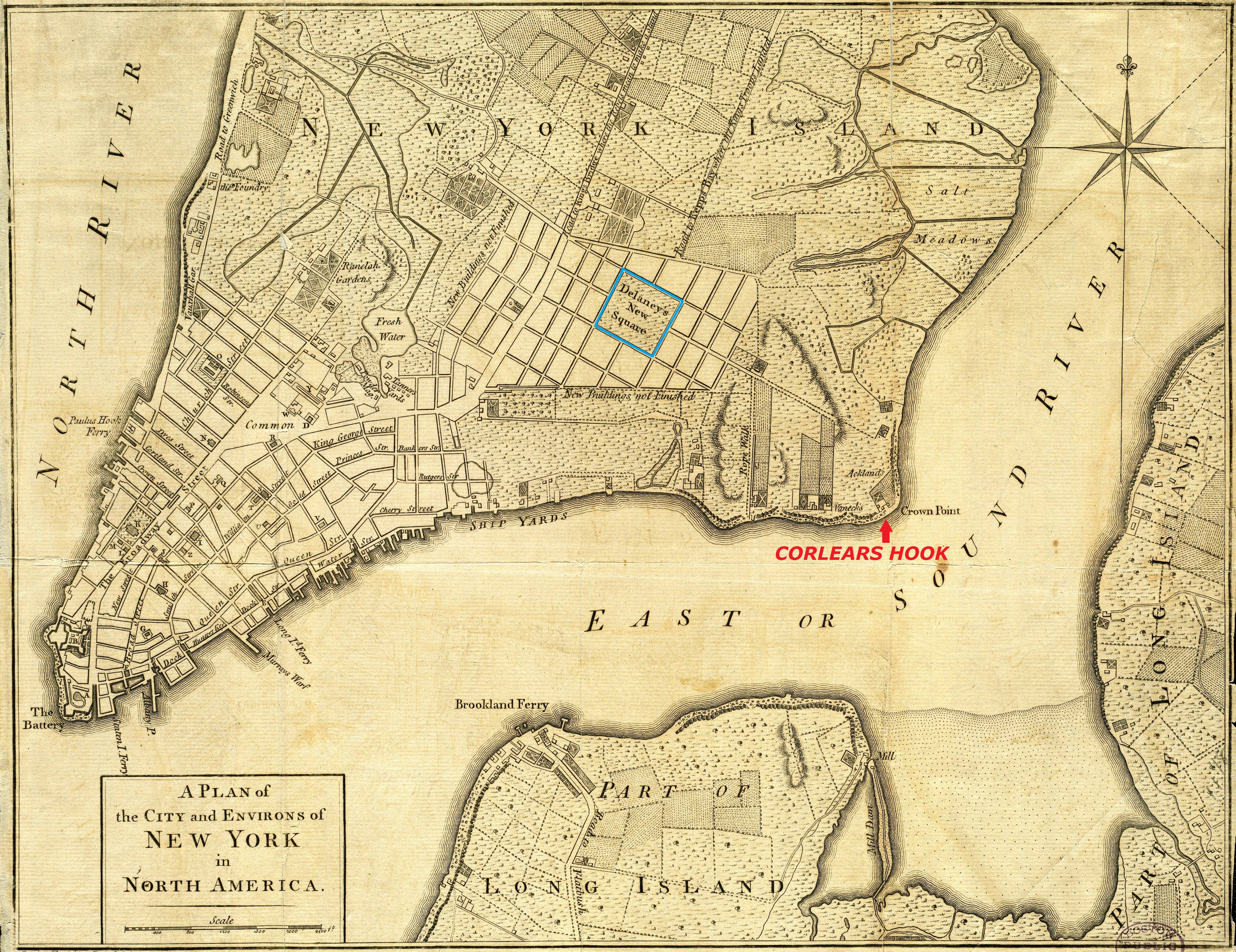
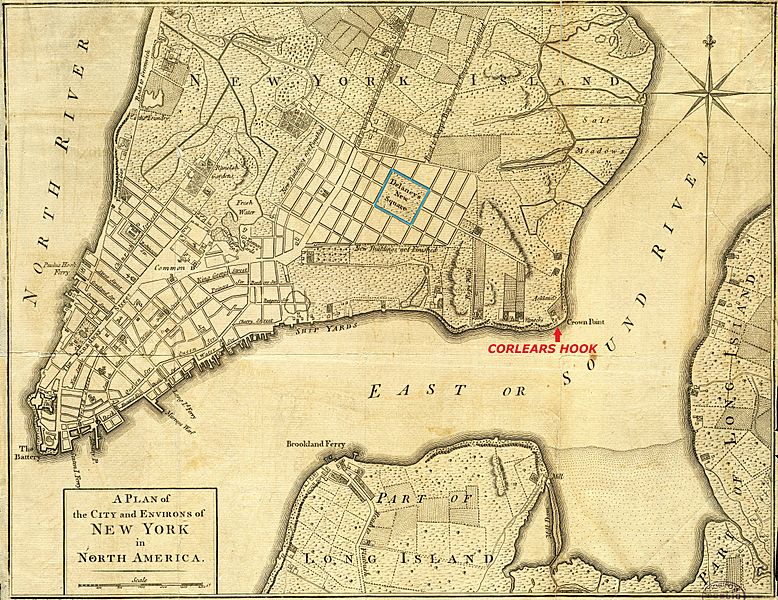
Description: A 1776 map of New York City. Map has had border cropped and color adjusted from original. This version had Corlears Hook labelled and New Delancey Square marked.
Title: NYC1776 labelled
Credit: The Boston Public Library Digital Map Collection: http://maps.bpl.org/details_14193/
Author: Unknown; labelled by Beyond My Ken (talk)
Usage Terms: Public domain
License: Public domain
Attribution Required?: No
Image usage
The following page links to this image:

All content from Kiddle encyclopedia articles (including the article images and facts) can be freely used under Attribution-ShareAlike license, unless stated otherwise.