
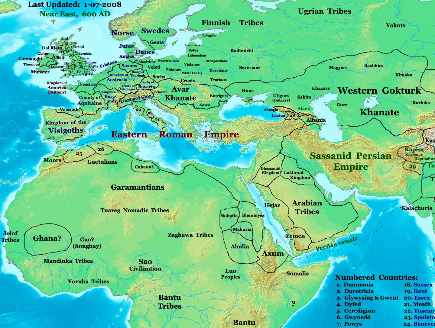
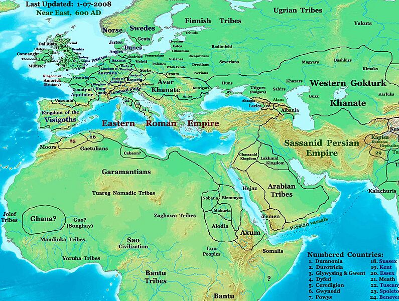
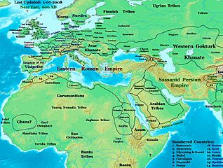
Image: NE 600ad
Description: part of: Eastern Hemisphere in 600 AD. Description: This image is a zoomed-in version of the Eastern Hemisphere in 600 AD. Author: Thomas A. Lessman (talessman@yis.us), later modified by others. Source URL: http://www.worldhistorymaps.info/images/East-Hem_600ad.jpg. Image Summary:Created by Thomas Lessman, based on this map of Eastern Hemisphere in 600 AD. Free for educational use. If you use this image, please credit the author (Thomas Lessman) and include (Source URL: http://www.worldhistorymaps.info/images/East-Hem_600ad.jpg). If you can help improve this map, please contact Thomas Lessman at talessman@yis.us. Other Historical Maps by Thomas Lessman Maps of the eastern hemisphere showing history Bold dates are available on Wikimedia or Wikipedia. (Other dates are available on www.WorldHistoryMaps.info.) See also: * Disclaimers * Report Errors * Gallery of Maps Primeval ·| 1300 BC | 1000 BC | 625 BC | Ancient BC / BCE AD / CE ·| 600 BC | 550 BC | 527 BC | 500 BC | 400 BC | ·| 335 BC | 323 BC | 300 BC | 200 BC | ·| 100 BC | 50 BC | ·| 1 AD | 50 AD | 100 AD | 200 AD | 300 AD | ·| 400 AD | 475 AD | 476 AD | 477 AD | ·| 480 AD | 486 AD| Medieval ·| 500 AD | 565 AD | 600 AD | 700 AD | · | 800 AD | 900 AD | 1025 AD | ·| 1100 AD | 1200 AD | 1300 AD | 1400 AD | Modern ·| 1500 AD | · * For historical maps of the whole world, see Wikimedia's Template:Maps of world history. history links talk edit view
Title: NE 600ad
Credit: Transferred from en.wikipedia to Commons.
Author: Talessman at English Wikipedia
Permission: Public domainPublic domainfalsefalse This work is ineligible for copyright and therefore in the public domain because it consists entirely of information that is common property and contains no original authorship.
Usage Terms: Public domain
License: Public domain
Attribution Required?: No
Image usage
The following page links to this image:
