
Image: NASA Worldwind, USGS imagery map, Little Venice Island, California
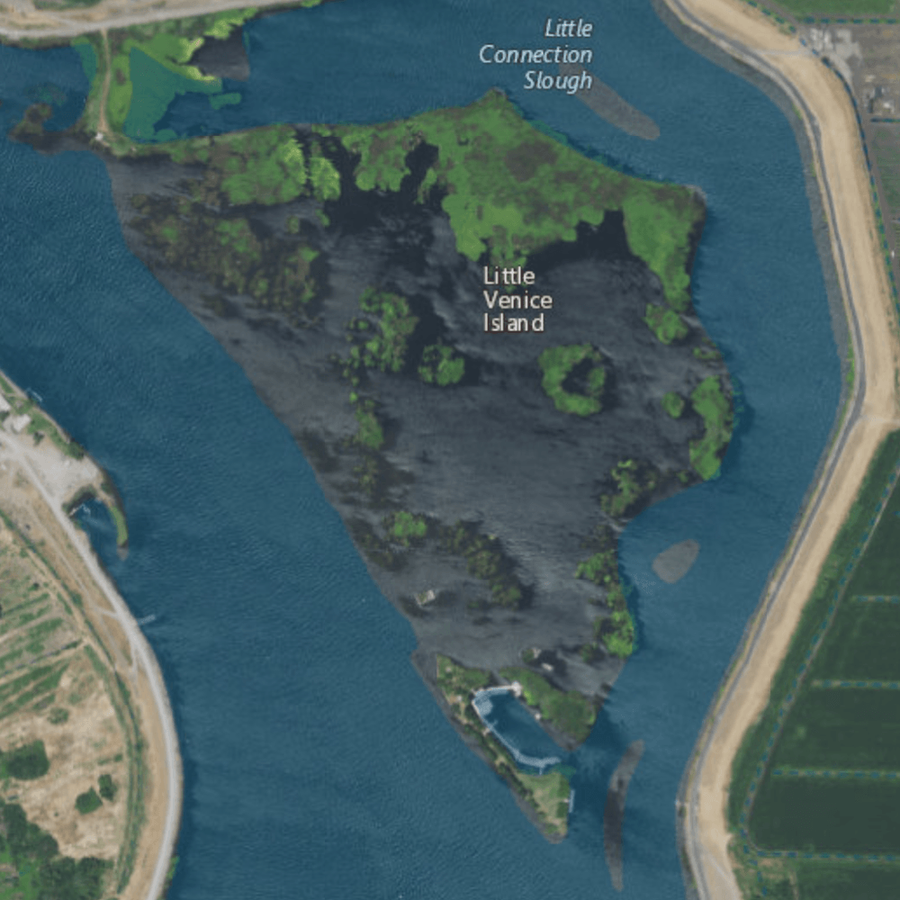
Description: USGS aerial imagery of w:Little Venice Island in the w:Sacramento-San Joaquin River Delta, with w:Medford Island to the west, w:Empire Tract to the east, and a bridge connecting to Venice Island on the northwest.
Title: NASA Worldwind, USGS imagery map, Little Venice Island, California
Credit: NASA tool at worldwind.earth, USGS Topo Imagery map layer
Author: Self
Permission: This image is in the public domain in the United States because it only contains materials that originally came from the United States Geological Survey, an agency of the United States Department of the Interior. For more information, see the official USGS copyright policy.
Usage Terms: Public domain
License: Public domain
Attribution Required?: No
Image usage
The following page links to this image:
