Image: Munro-colour-contour-map-sec15

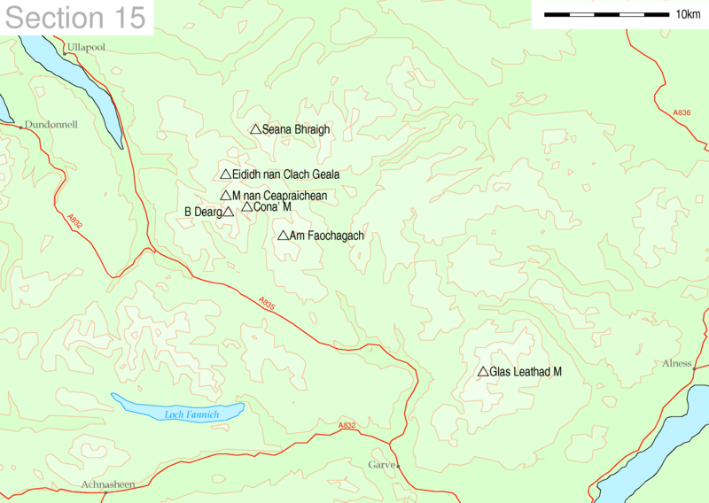
Description: Map of Munro hills in SMC section 15
Title: Munro-colour-contour-map-sec15
Credit: This image uses high-resolution digital topography data from NASA's Shuttle Radar Topography Mission (SRTM) at JPL-Caltech [1]. It is in the public domain in the United States.
Author: Thruston
Permission: Public domainPublic domainfalsefalse This work has been released into the public domain by its author, User: at English Wikipedia. This applies worldwide. In some countries this may not be legally possible; if so: en:User: grants anyone the right to use this work for any purpose, without any conditions, unless such conditions are required by law.Public domainPublic domainfalsefalse
Usage Terms: Public domain
License: Public domain
Attribution Required?: No
Image usage
The following page links to this image:

