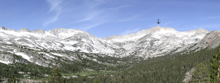
Image: Mt Casson Pano 4wiki
Mt_Casson_Pano_4wiki.jpg (700 × 264 pixels, file size: 90 KB, MIME type: image/jpeg)
Description: Panoramic Image taken of the Hall Natural Area with Mt. Conness under the black arrow...the highest point in this photo is actually a false summit...the real summit is behind and to the right.
Title: Mt Casson Pano 4wiki
Credit: Transferred from en.wikipedia to Commons.
Author: Phreakdigital at English Wikipedia
Usage Terms: Public domain
License: Public domain
Attribution Required?: No
Image usage
The following page links to this image:

All content from Kiddle encyclopedia articles (including the article images and facts) can be freely used under Attribution-ShareAlike license, unless stated otherwise.

