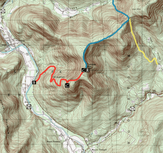
Image: Mount Tremper map

Size of this preview: 642 × 599 pixels. Other resolutions: 257 × 240 pixels | 934 × 872 pixels.
Original image (934 × 872 pixels, file size: 2 MB, MIME type: image/png)
Description: USGS map of Mount Tremper in the Catskill Mountains of the U.S. state of New York, with trails indicated in blaze color and facilities on and near mountain indicated with NY route shields and NPS symbols
Title: Mount Tremper map
Credit: USGS Phoenicia, NY, 7.5 minute quadrangle as displayed at ACME Mapper; overlay symbols NPS and NYSDOT
Author: USGS cartographers; map overlays using NPS symbols, NY state highway shield, colored routes and text by Daniel Case
Usage Terms: Public domain
License: Public domain
Attribution Required?: No
Image usage
The following page links to this image:

All content from Kiddle encyclopedia articles (including the article images and facts) can be freely used under Attribution-ShareAlike license, unless stated otherwise.
