
Image: MountWise PlymouthMap 1851
No higher resolution available.
MountWise_PlymouthMap_1851.png (727 × 539 pixels, file size: 673 KB, MIME type: image/png)
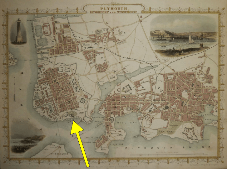
Description: Mount Wise, Plymouth, Devon, indicated by yellow arrow (2016) on Map of Plymouth and Devonport, circa 1851
Title: MountWise PlymouthMap 1851
Credit: old map
Author: Yellow arrow added by (Lobsterthermidor (talk) 17:14, 5 December 2016 (UTC)) 2016. Map drawn and engraved by John Rapkin (1815-1876), illustrations drawn and engraved by H. Bibby. Publisher: John Tallis (1817-1876) - London Printing & Publishing Company
Usage Terms: Public domain
License: Public domain
Attribution Required?: No
Image usage
The following page links to this image:

All content from Kiddle encyclopedia articles (including the article images and facts) can be freely used under Attribution-ShareAlike license, unless stated otherwise.