Image: Mound-bottom-marker

Size of this preview: 800 × 595 pixels. Other resolutions: 320 × 238 pixels | 1,937 × 1,441 pixels.
Original image (1,937 × 1,441 pixels, file size: 507 KB, MIME type: image/jpeg)
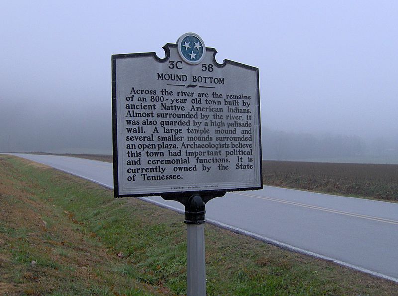
Description: Tennessee Historical Commission marker along Cedar Hill Road in Cheatham County recalling the site of Mound Bottom, which was situated on the other side of the river to the north (left).
Title: Mound-bottom-marker
Credit: Own work
Author: Brian Stansberry
Usage Terms: Creative Commons Attribution 3.0
License: CC BY 3.0
License Link: https://creativecommons.org/licenses/by/3.0
Attribution Required?: Yes
Image usage
The following page links to this image:

All content from Kiddle encyclopedia articles (including the article images and facts) can be freely used under Attribution-ShareAlike license, unless stated otherwise.
