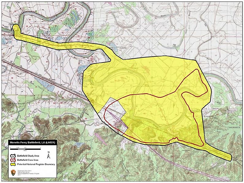
Image: Monett's Ferry Battlefield Louisiana

Description: Map of battlefield core and study areas. The ABPP expanded the 1993 Study Area in three places: northwest to the Federal camps in Cloutierville from which the Federals marched on the morning of April 23 under pressure from the Confederates; southeast along the Federal route of advance towards Alexandria after Banks’s forces had broken through Bee’s cavalry; and in the location of the Federal flanking movement over the upper ford of the Cane River. The Core Area was extended to include the full range of fire delivered by Confederate and Union artillery pieces and the Federal cavalry engagement northeast of the main action.
Title: Monett's Ferry Battlefield Louisiana
Credit: National Park Service
Author: American Battlefield Protection Program
Usage Terms: Public domain
License: Public domain
Attribution Required?: No
Image usage
The following page links to this image:

