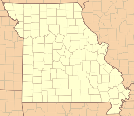
Image: Missouri Locator Map UTM
Missouri_Locator_Map_UTM.png (429 × 374 pixels, file size: 70 KB, MIME type: image/png)
Description: Locator map for Missouri that can be used with georeferencing data to precisely locate coordinates. It is projected in the UTM coordinate system for zone 15 North described by EPSG ID 26915 (ellipse GRS80 and datum NAD83).
Title: Missouri Locator Map UTM
Credit: Own work
Author: Kbh3rd
Usage Terms: Creative Commons Zero, Public Domain Dedication
License: CC0
License Link: http://creativecommons.org/publicdomain/zero/1.0/deed.en
Attribution Required?: No
Image usage
The following 2 pages link to this image:

All content from Kiddle encyclopedia articles (including the article images and facts) can be freely used under Attribution-ShareAlike license, unless stated otherwise.

