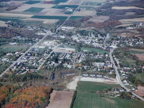
Image: Mishicot WI aerial photo
Mishicot_WI_aerial_photo.jpg (500 × 375 pixels, file size: 46 KB, MIME type: image/jpeg)
Description: Aerial image of Mishicot, looking from the south toward the north. Wisconsin Highway 163 entered the village from the SW (lower left) and ran into the village.
Title: Mishicot WI aerial photo
Credit: http://www.mishicot.org
Author: JakeApple at English Wikipedia
License: Attribution
Image usage
The following page links to this image:

All content from Kiddle encyclopedia articles (including the article images and facts) can be freely used under Attribution-ShareAlike license, unless stated otherwise.

