
Image: Minnehaha Falls 1914 USGS
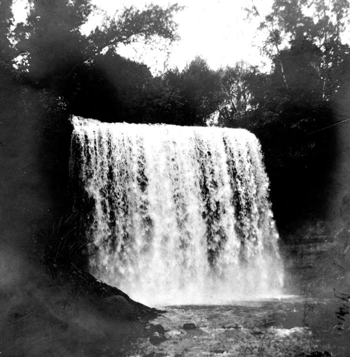
Description: Minnehaha Falls, the stream falls 63 feet over Platteville limestone capping St. Peter sandstone Hennepin County, Minnesota. 1914. Plate 8 in U.S. Geological Survey. Folio 201. 1916. (Description from USGS)
Title: Minnehaha Falls 1914 USGS
Credit: United States Geological Survey Photographic Library; http://libraryphoto.cr.usgs.gov/cgi-bin/show_picture.cgi?ID=ID.%20Sardeson,%20F.W.%2014
Author: Sardeson, F.W.
Permission: This image is in the public domain in the United States because it only contains materials that originally came from the United States Geological Survey, an agency of the United States Department of the Interior. For more information, see the official USGS copyright policy.
Usage Terms: Public domain
License: Public domain
Attribution Required?: No
Image usage
The following page links to this image:
