Image: Milliken's Bend - Jackson;Vicksburg

Size of this preview: 797 × 600 pixels. Other resolutions: 319 × 240 pixels | 1,244 × 936 pixels.
Original image (1,244 × 936 pixels, file size: 378 KB, MIME type: image/jpeg)
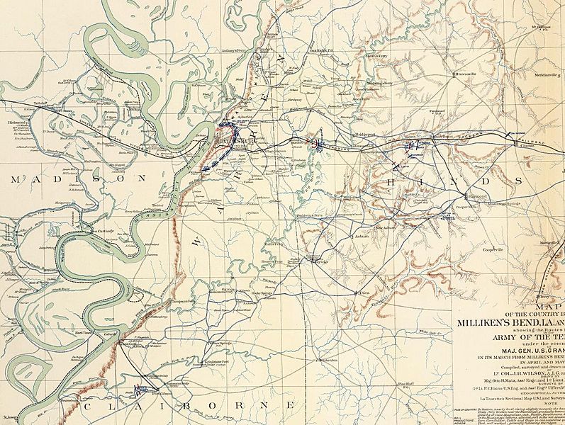
Description: Map of the country between Milliken's Bend, La. and Jackson, Miss. showing the routes followed by the Army of the Tennessee under the command of Maj. Gen. U.S. Grant, U.S. Vls. in its march from Milliken's Bend to rear of Vicksburg in April and May 1863. Compiled, surveyed and drawn under the direction of Lt. Col. J.H. Wilson ... Drawn by Maj. Otto H. Matz ... and 1st Lieut. L. Helmle
Title: Milliken's Bend - Jackson;Vicksburg
Credit: David Rumsay Map collection [1]
Author: Otto H. Matz; United States War Department
Permission: No known restrictions on publication.
Usage Terms: Public domain
License: Public domain
Attribution Required?: No
Image usage
The following page links to this image:

All content from Kiddle encyclopedia articles (including the article images and facts) can be freely used under Attribution-ShareAlike license, unless stated otherwise.
