
Image: Mexico 1824-11-24 to 1830
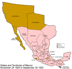
Size of this preview: 626 × 599 pixels. Other resolutions: 251 × 240 pixels | 1,000 × 957 pixels.
Original image (1,000 × 957 pixels, file size: 45 KB, MIME type: image/png)
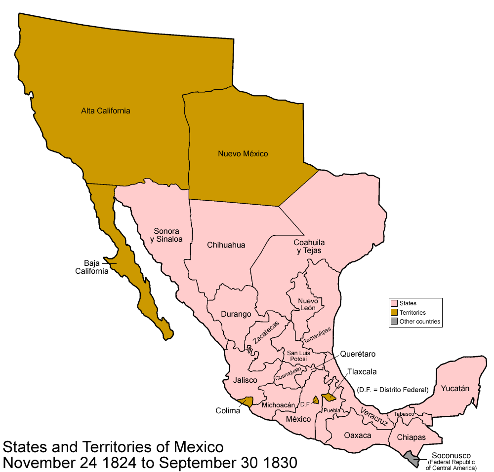
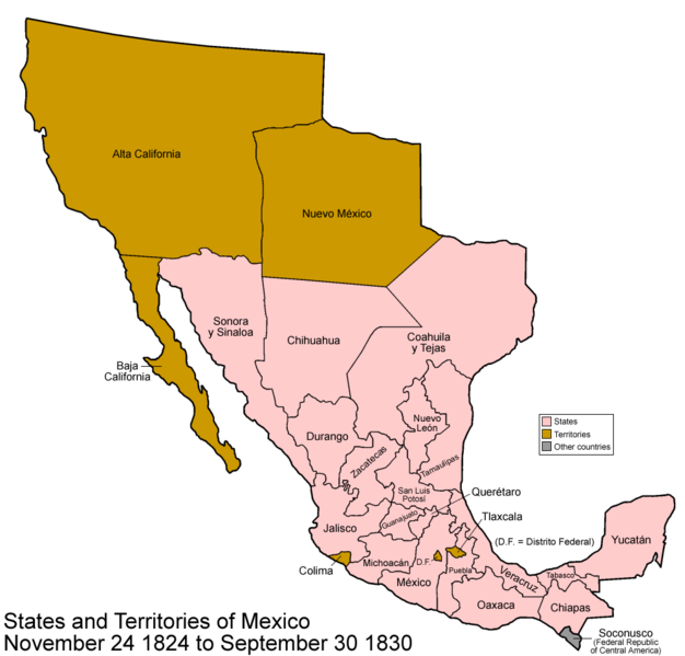
Description: Map of the states and territories of Mexico as they were from November 24 1824 to 1830.
Title: Mexico 1824-11-24 to 1830
Credit: Traced from various public domain maps and research
Author: User:Golbez
Permission: Own work, copyleft: Multi-license with GFDL and Creative Commons CC-BY-SA-2.5 and older versions (2.0 and 1.0)
Usage Terms: Creative Commons Attribution-Share Alike 3.0
License: CC-BY-SA-3.0
License Link: http://creativecommons.org/licenses/by-sa/3.0/
Attribution Required?: Yes
Image usage
The following page links to this image:

All content from Kiddle encyclopedia articles (including the article images and facts) can be freely used under Attribution-ShareAlike license, unless stated otherwise.