
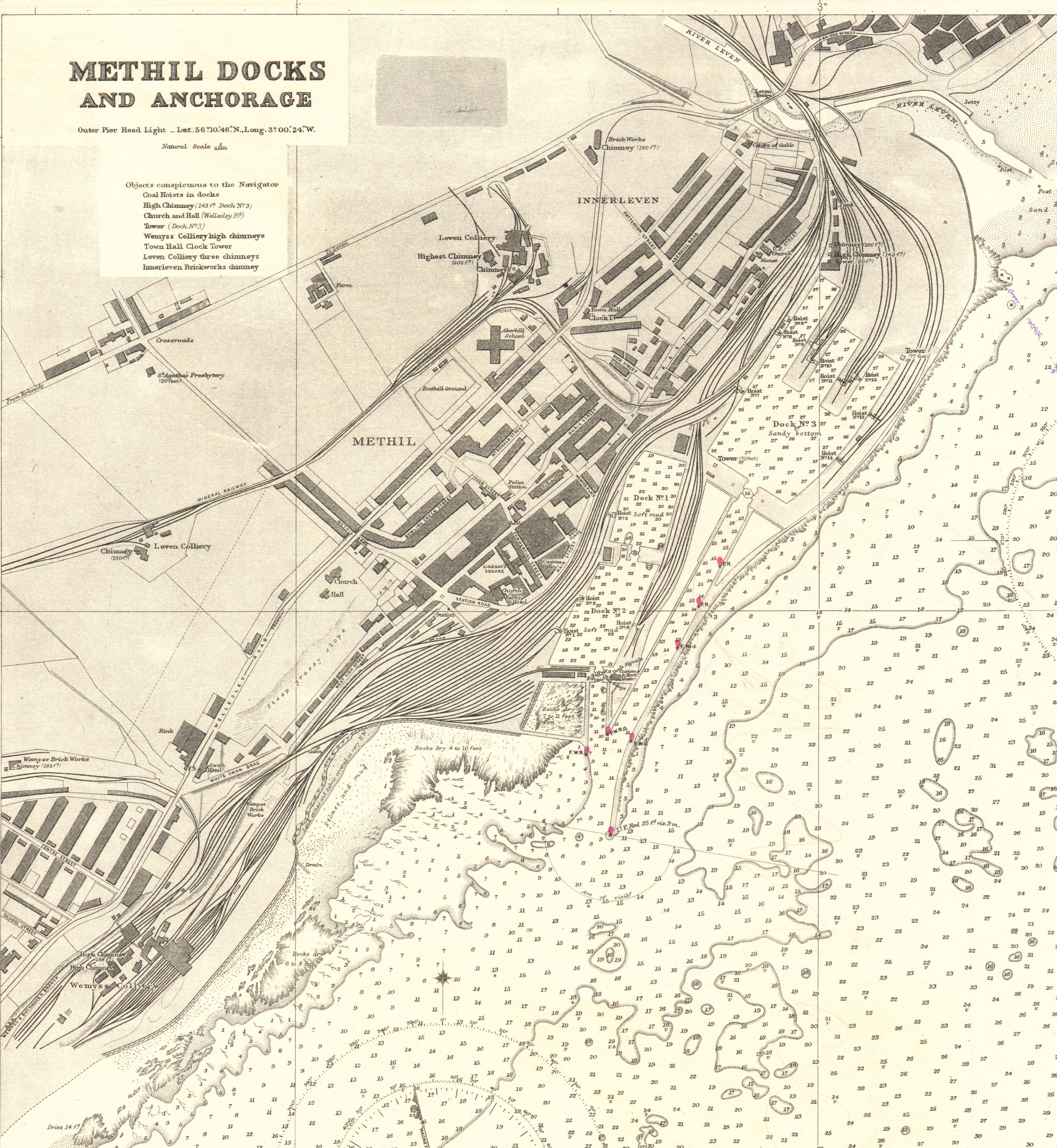
Image: Methil Docks cropped from Admiralty Chart No 137, Published 1918
Size of this preview: 552 × 599 pixels. Other resolutions: 221 × 240 pixels | 6,602 × 7,169 pixels.
Original image (6,602 × 7,169 pixels, file size: 19.41 MB, MIME type: image/jpeg)
Description: Nautical chart of plans in the Firth of Forth. Not current - not to be used for navigation!
Title: Methil Docks cropped from Admiralty Chart No 137, Published 1918
Credit: Scan of original Admiralty Chart
Author: J.F. Parry
Usage Terms: Public domain
License: Public domain
Attribution Required?: No
Image usage
The following page links to this image:

All content from Kiddle encyclopedia articles (including the article images and facts) can be freely used under Attribution-ShareAlike license, unless stated otherwise.