
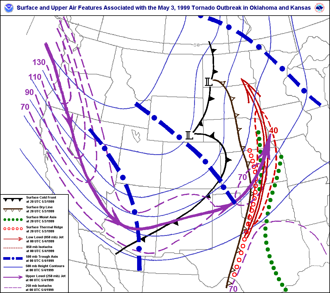
Image: Meteorological setup of the 1999 Oklahoma tornado outbreak
Size of this preview: 677 × 600 pixels. Other resolutions: 271 × 240 pixels | 1,124 × 996 pixels.
Original image (1,124 × 996 pixels, file size: 59 KB, MIME type: image/gif)
Description: A map depicting surface and upper level atmospheric features associated the May 3, 1999 Tornado Outbreak in Oklahoma and Kansas.
Title: Meteorological setup of the 1999 Oklahoma tornado outbreak
Credit: http://www.srh.noaa.gov/images/oun/wxevents/19990503/maps/bigmapfeatures.gif
Author: National Weather Service Norman, Oklahoma
Usage Terms: Public domain
License: Public domain
Attribution Required?: No
Image usage
The following 2 pages link to this image:

All content from Kiddle encyclopedia articles (including the article images and facts) can be freely used under Attribution-ShareAlike license, unless stated otherwise.