
Image: Mescalitan Island aerial
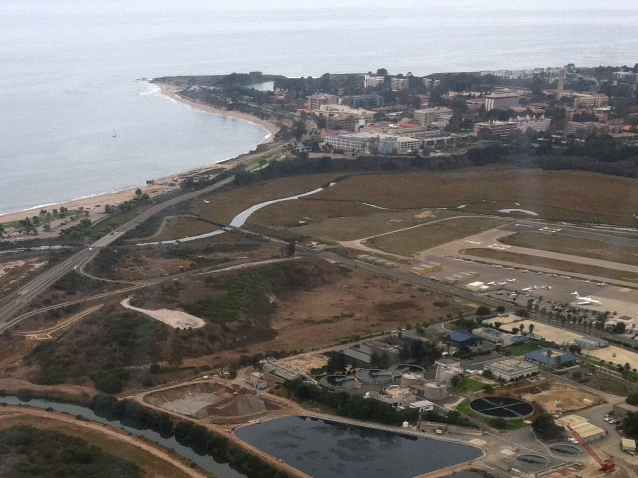
Description: Aerial view of the Goleta Slough and Goleta — in Santa Barbara County, California. Showing Goleta Beach, UCSB (University of California, Santa Barbara), Mescalitan Island, and the Goleta Water Treatment Facility. Mescalitan Island was the site of a Chumash village called Helo'.
Title: Mescalitan Island aerial
Credit: Flickr: IMG_2808
Author: Britta Gustafson
Permission: This image, which was originally posted to Flickr.com, was uploaded to Commons using Flickr upload bot on 23:47, 19 November 2012 (UTC) by Dreamyshade (talk). On that date, it was available under the license indicated. This file is licensed under the Creative Commons Attribution-Share Alike 2.0 Generic license. You are free: to share – to copy, distribute and transmit the work to remix – to adapt the work Under the following conditions: attribution – You must attribute the work in the manner specified by the author or licensor (but not in any way that suggests that they endorse you or your use of the work). share alike – If you alter, transform, or build upon this work, you may distribute the resulting work only under the same or similar license to this one. http://creativecommons.org/licenses/by-sa/2.0 CC BY-SA 2.0 Creative Commons Attribution-Share Alike 2.0 truetrue
Usage Terms: Creative Commons Attribution-Share Alike 2.0
License: CC BY-SA 2.0
License Link: http://creativecommons.org/licenses/by-sa/2.0
Attribution Required?: Yes
Image usage
The following 3 pages link to this image:
