
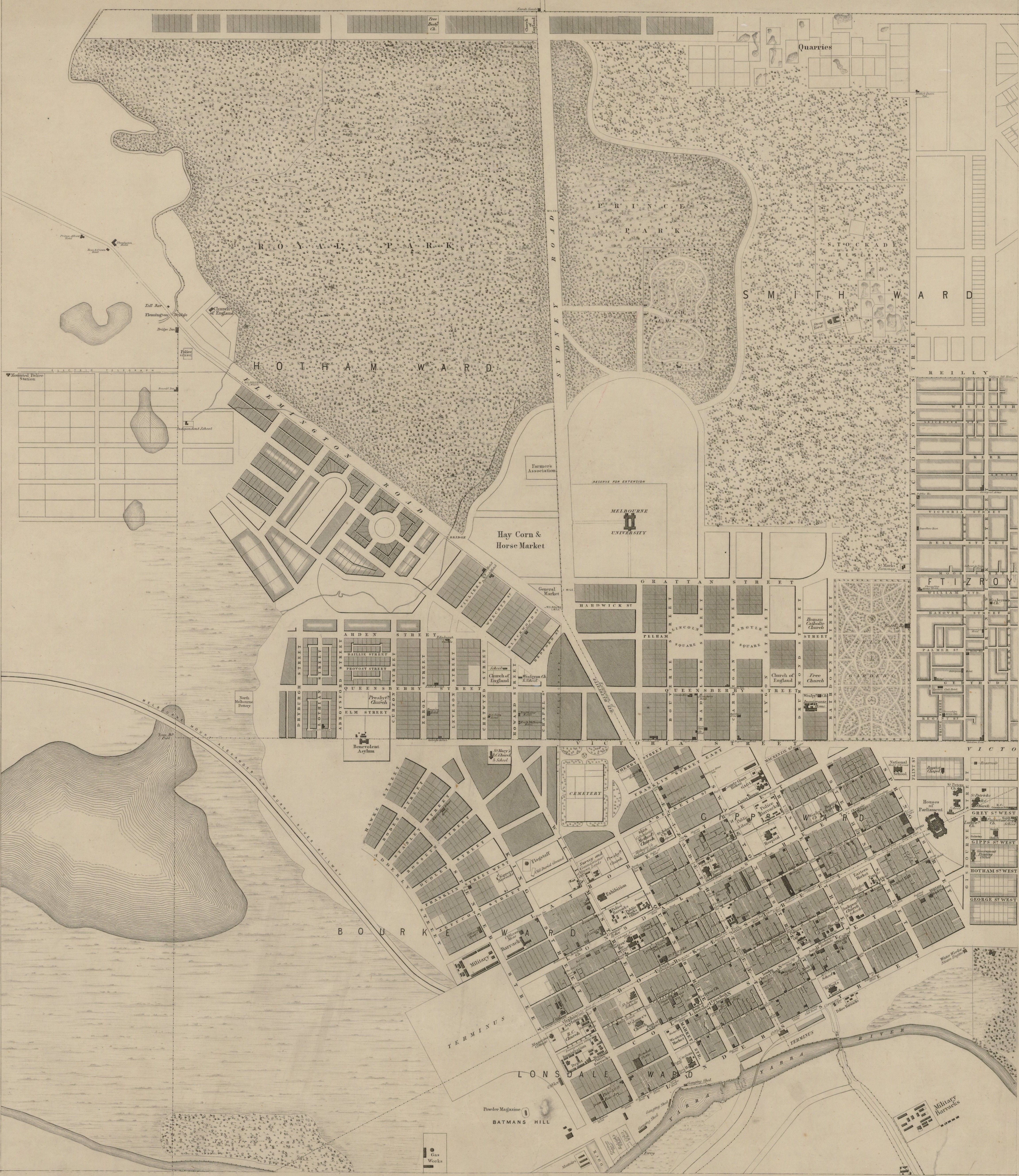
Image: Melbourne map 1855
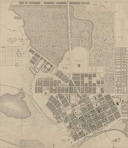
Size of this preview: 519 × 599 pixels. Other resolutions: 208 × 240 pixels | 4,606 × 5,316 pixels.
Original image (4,606 × 5,316 pixels, file size: 6.39 MB, MIME type: image/jpeg)
Description: Map of Melbourne, 1855. Sheet 1 of 4 (North-West) showing current CBD, Melbourne University and General Cemetery.
Title: Melbourne map 1855
Credit: State Library of Victoria
Author: Victoria. Surveyor-General.
Usage Terms: Public domain
License: Public domain
Attribution Required?: No
Image usage
The following page links to this image:

All content from Kiddle encyclopedia articles (including the article images and facts) can be freely used under Attribution-ShareAlike license, unless stated otherwise.